2017 Statutory Exhibition Drawings and Photomontages
The complete set of Exhibition Drawings can be downloaded here.
Public Exhibition Drawings
These drawings include:
- Flood Defence Plan
- Flood Defence Work Sections
- Flood Defeence Work Finishes
- Acssess Routes and Work Areas
- Photomontages (where applicable)
- Flood Extents and Benefitting Areas
- Designated Washlands/Floodplains
- Channel Codes
The drawings linked below should be read in conjuction with the relevant scheme wide drawings here.
The individual exhibition doucments can be accessed by clicking on the relevant file in the second column below.
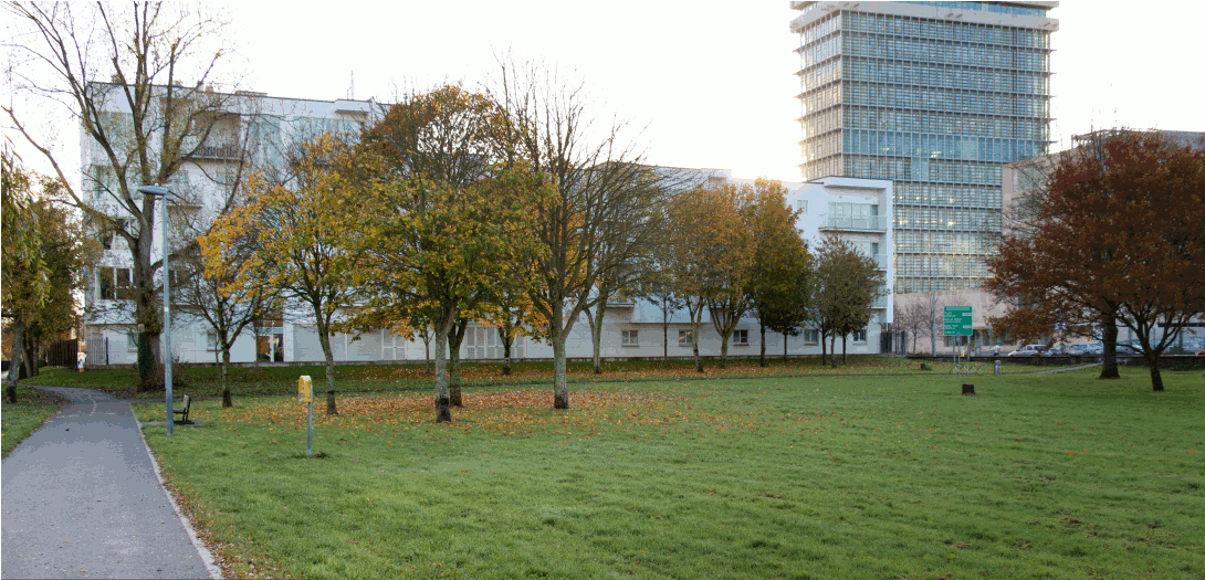
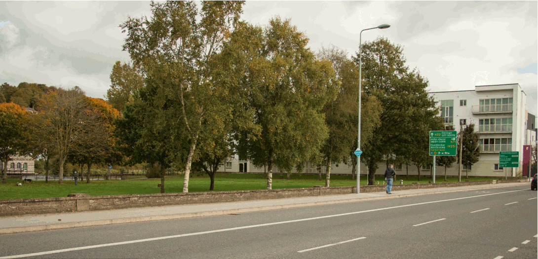
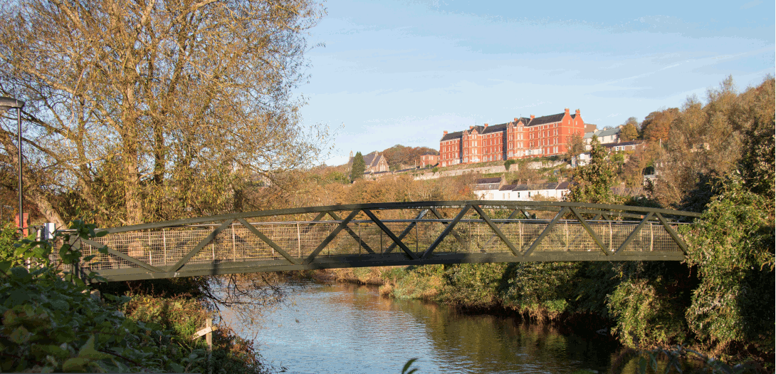
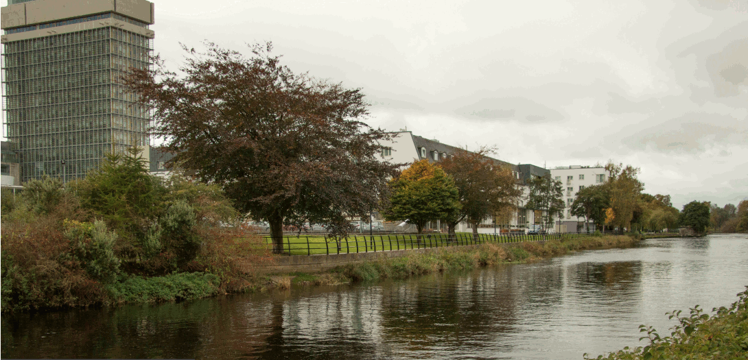
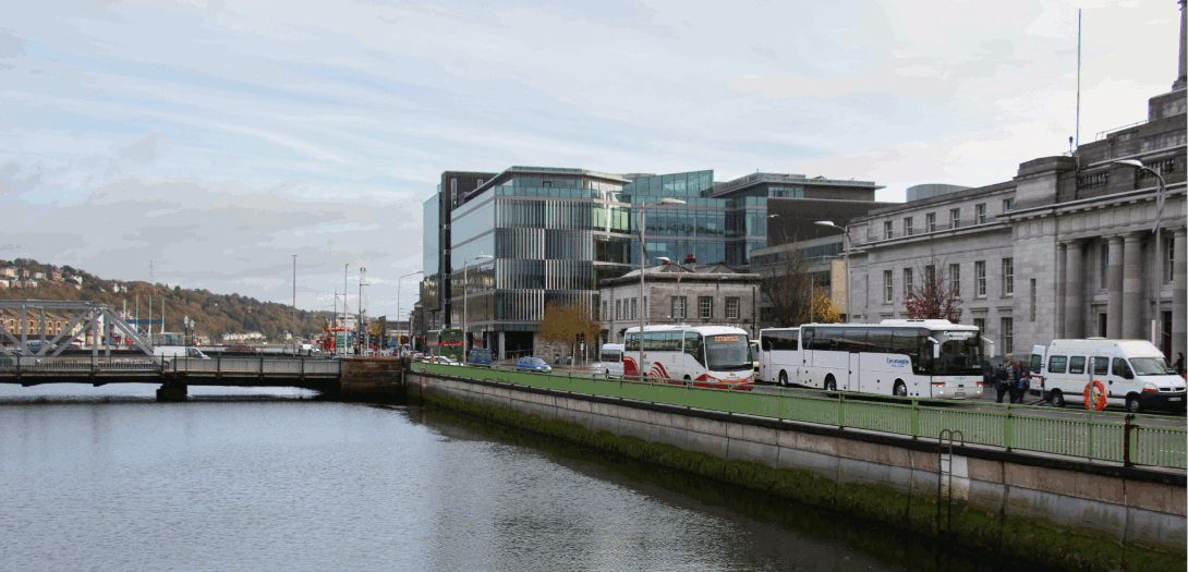
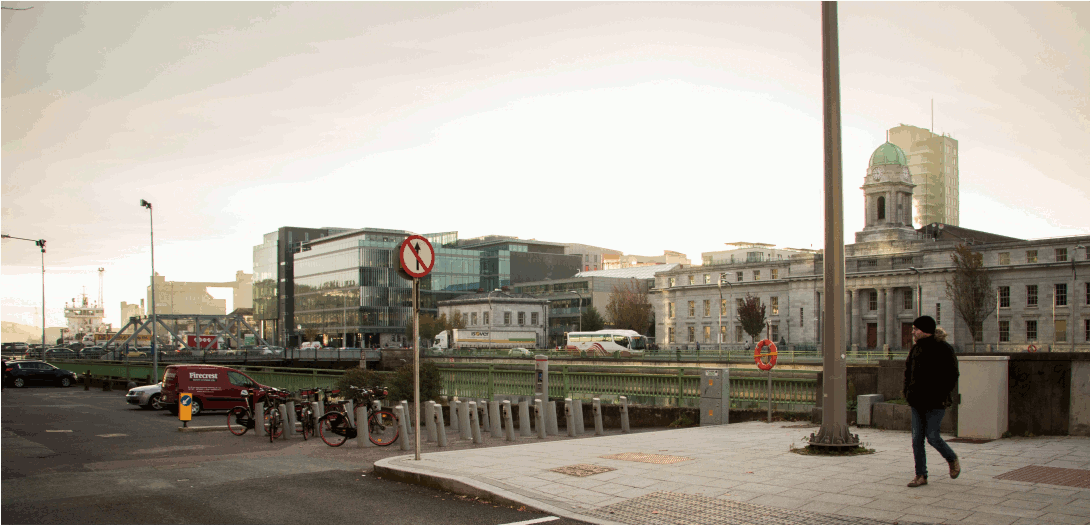
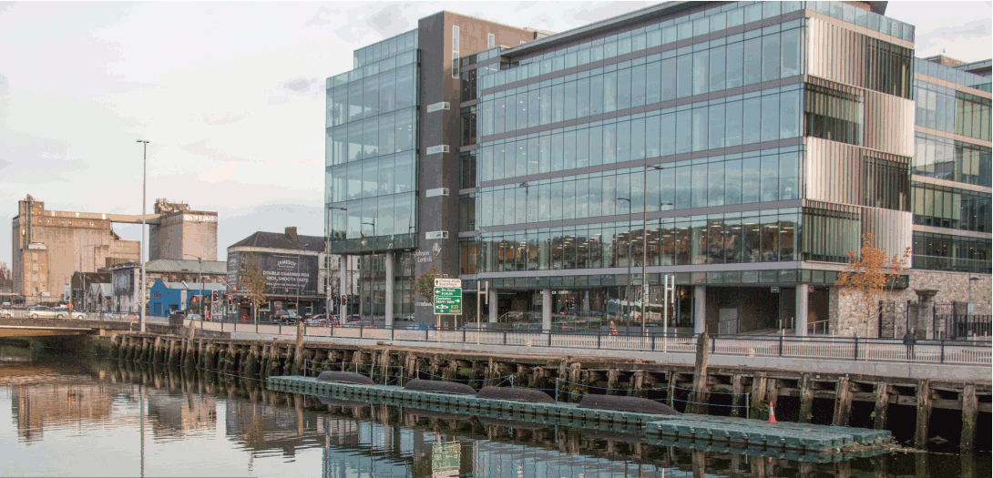
Photomontages
The individual photomontages can be accessed by clicking on the relevant file in the third column below. The existing and proposed view at each location have been combined into one file (gif file).
Alternatively you can download the complete set of Photomontages here.
|
View and Location |
View Orientation |
File showing existing and proposed view |
|---|---|---|
|
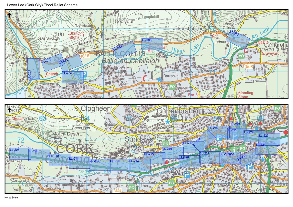
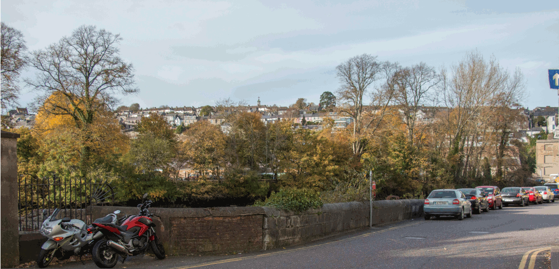
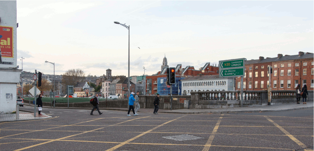
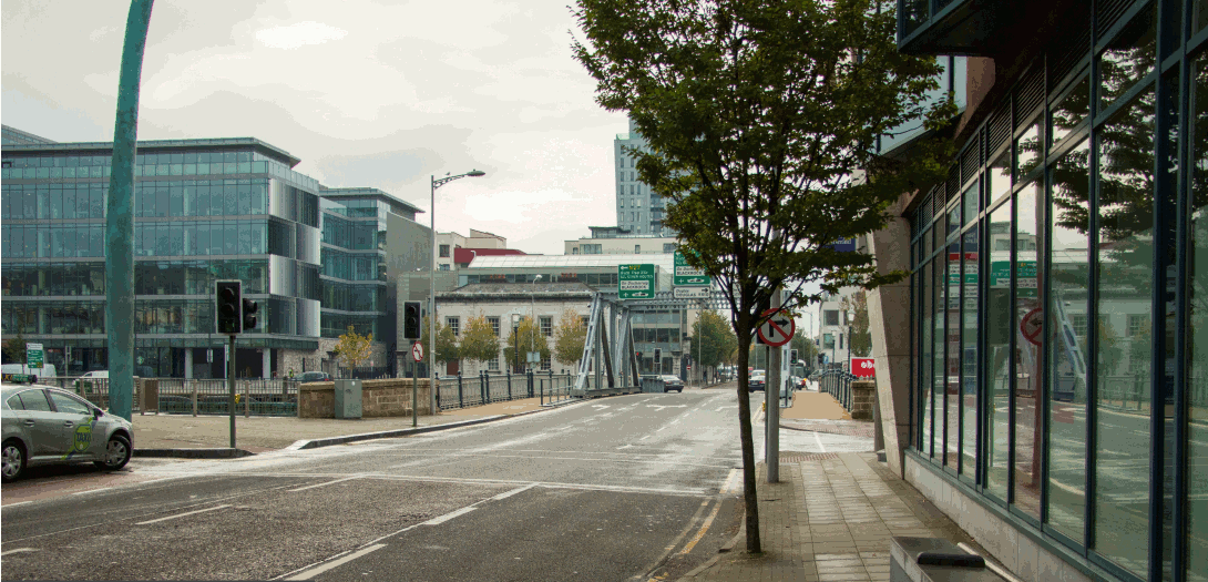
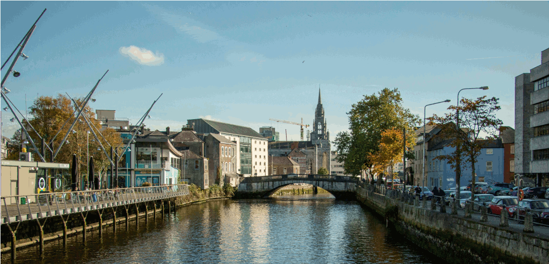
Inchigaggin Lane junction on Carrigrohane Road
|
Looking north
|
|
|
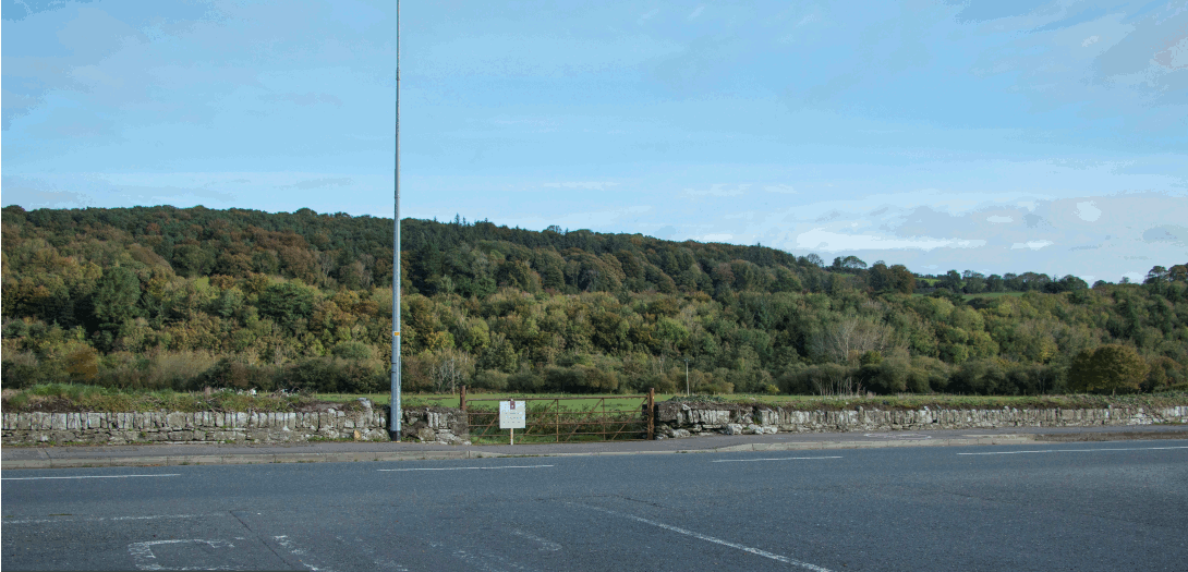
Lee Fields west from Carrigrohane Road
|
Looking west
|
|
|
Lee Fields east (Car Park) from Carrigrohane Road
|
Looking west
|
|
|
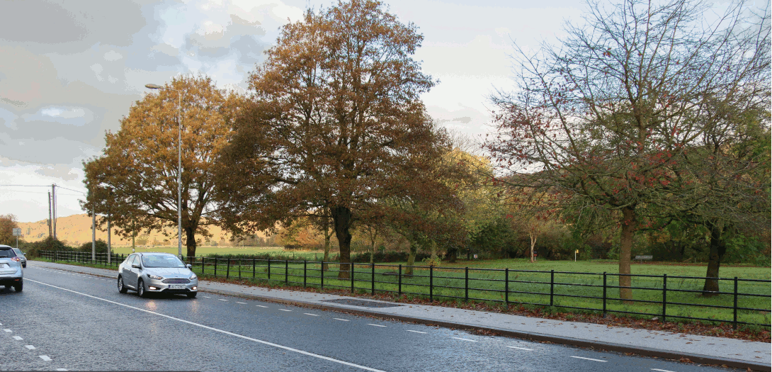
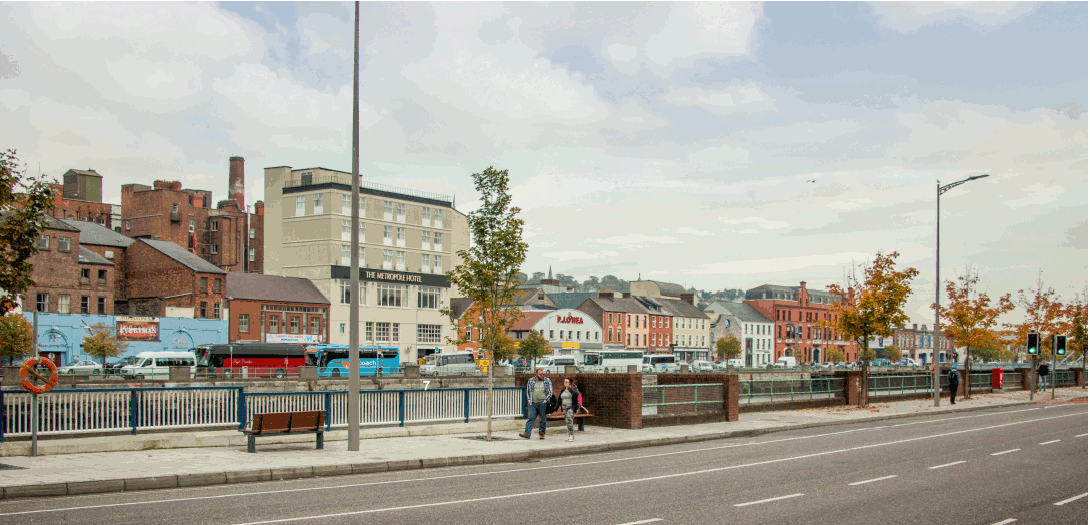
Lee Fields (Kingsley Hotel) from Carrigrohane Road
|
Looking east
|
|
|
Lee Fields (Kingsley Hotel) from Carrigrohane Road |
Looking east |
|
| Kingsley and County Hall from Sacred Heart | Looking west |
|
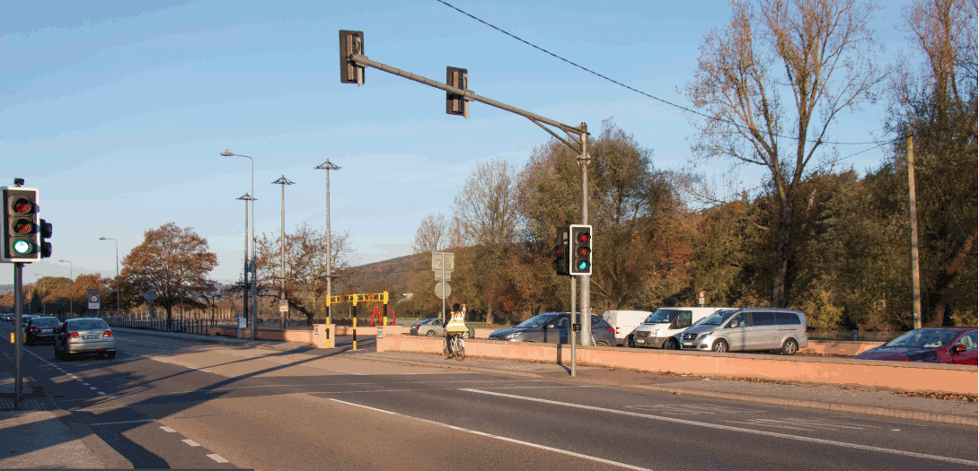
| Victoria Cross Pedestrian Bridge | Looking west |
|
| Sunday's Well Road | Looking south east |
|
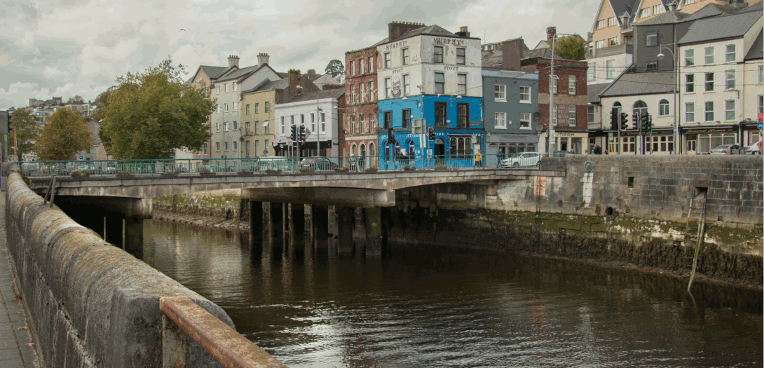
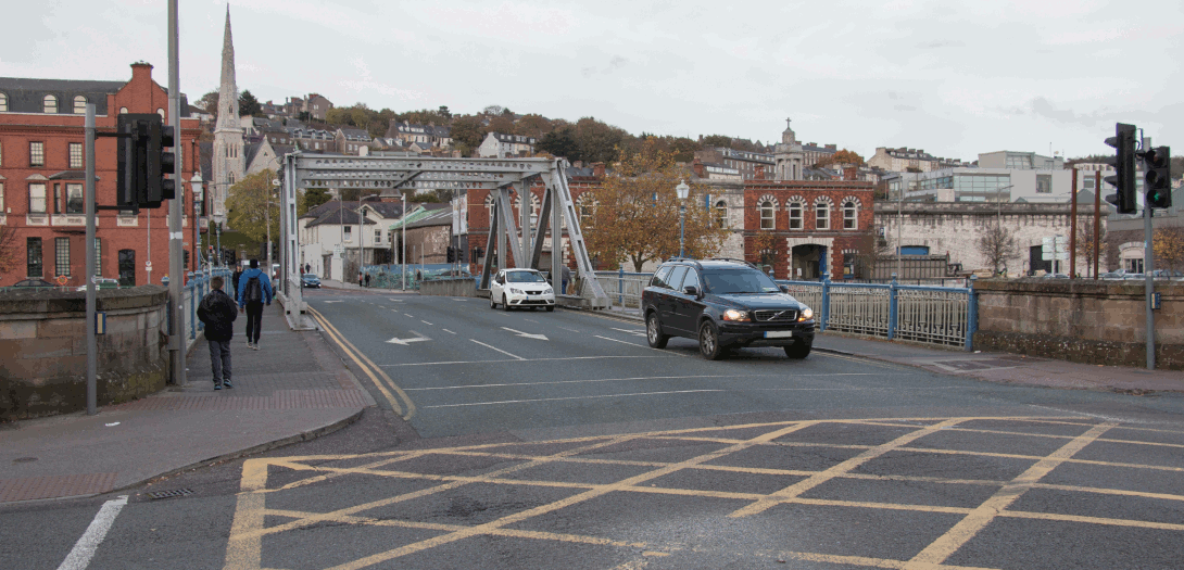
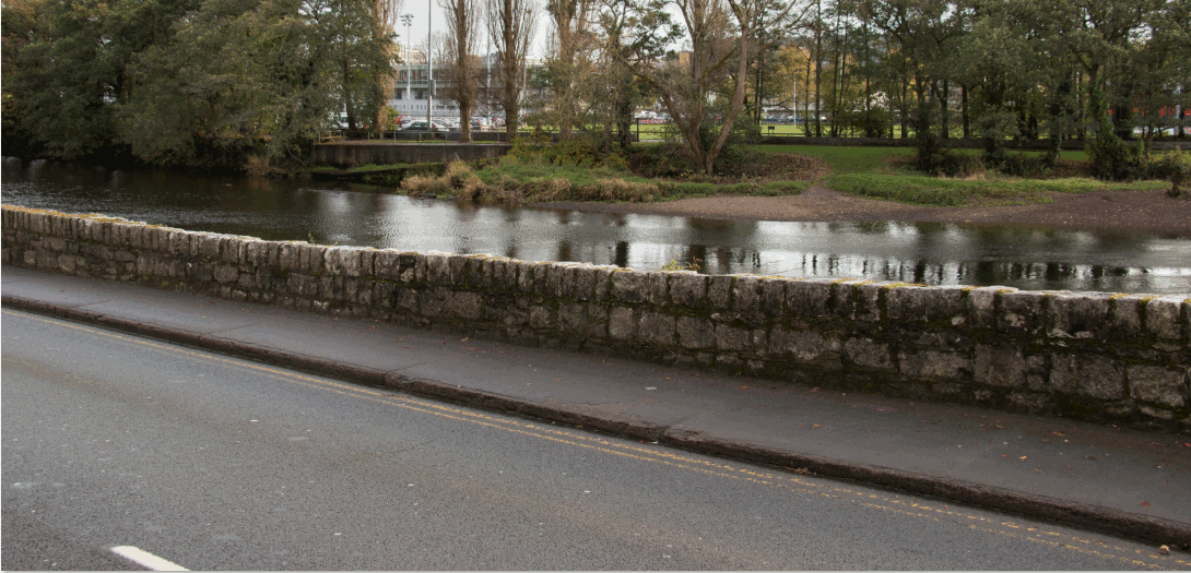
| Daly's (Shakey) Bridge | Upstream (west) |
|
| Daly's (Shakey) Bridge | Downstream (east) |
|
|
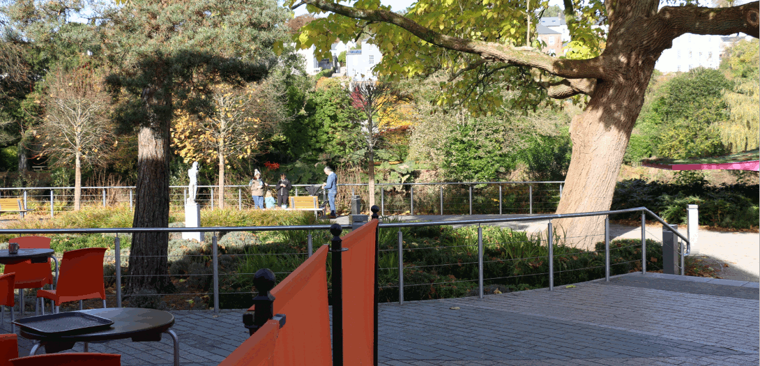
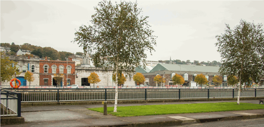
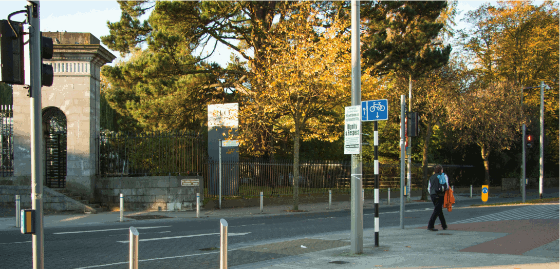
Fitzgeralds Park 1 - Ferry Walk Entrance
|
Looking east
|
|
| Fitzgeralds Park 2 - West | Looking east |
|
| Fitzgeralds Park 3 - Mid | Looking east |
|
| Fitzgeralds Park 4 - East | Looking north |
|
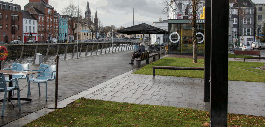
| Fitzgeralds Park 5 - Café | Looking north |
|
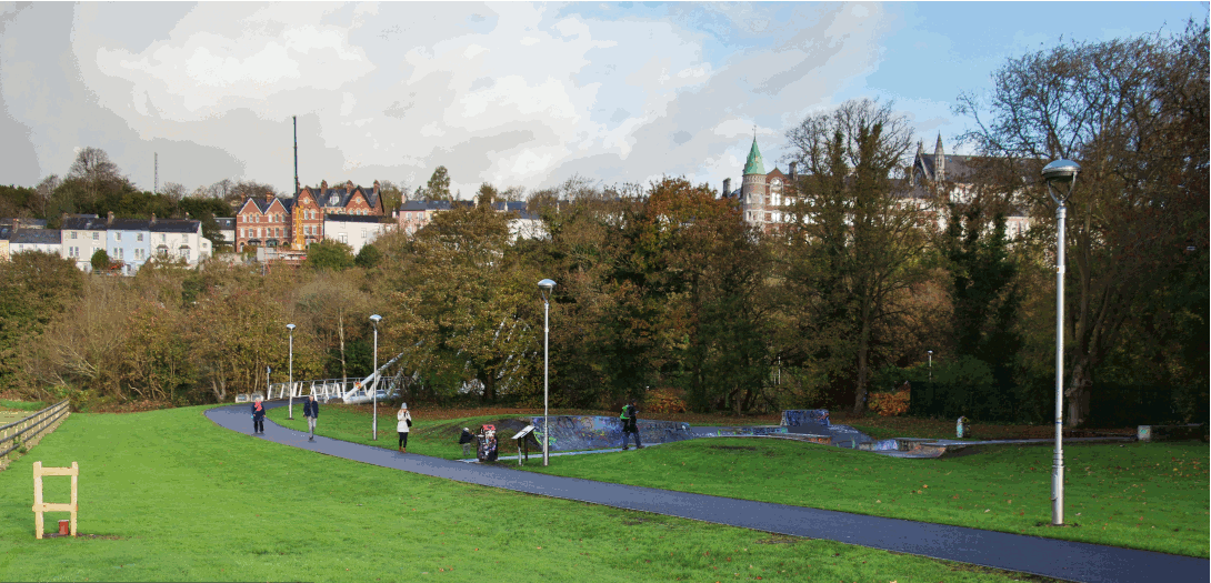
| Mardyke Walk Skate Park | Looking north |
|
| Mardyke Pedestrain Bridge | Upstream (west) |
|
| Grenville Place from Mercy Hospital | Looking north west |
|
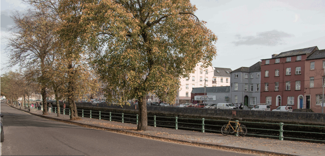
| North Mall west | Looking east |
|
| St. Vincents Bridge from Sundays Well Road | Looking east |
|
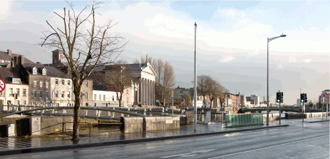
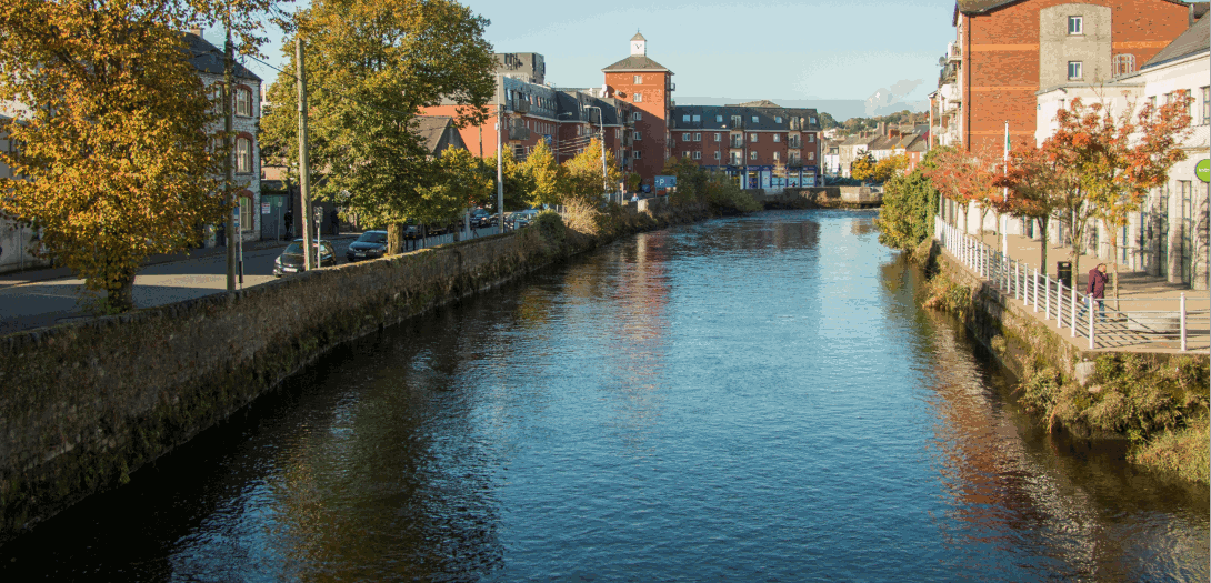
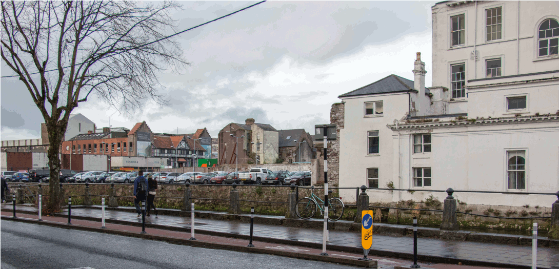
| North Mall from Bachelors Quay | Looking north |
|
| North Gate Bridge/Griffith Bridge from Kyrl's Quay | Looking west |
|
| Cornmarket Street Pedestrian Bridge from Kyrl's Quay | Looking east |
|
| Cornmarket Street Pedestrian Bridge to Christy Ring Bridge | Looking east |
|
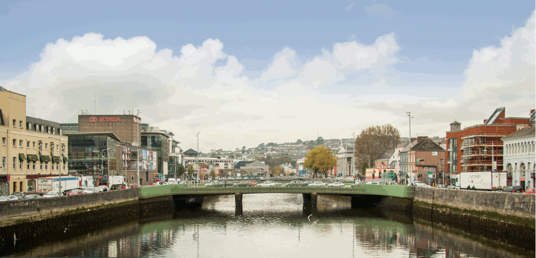
| Christy Ring Bridge from St. Patricks Bridge | Looking west |
|
| Lavitt's Quay from St Patricks Street | Looking west |
|
| Merchants Quay | Looking north east |
|
| Brian Boru Bridge from Bus Station | Looking north |
|
| Anderson's Quay | Looking north east |
|
| Custom House Street | Looking north |
|
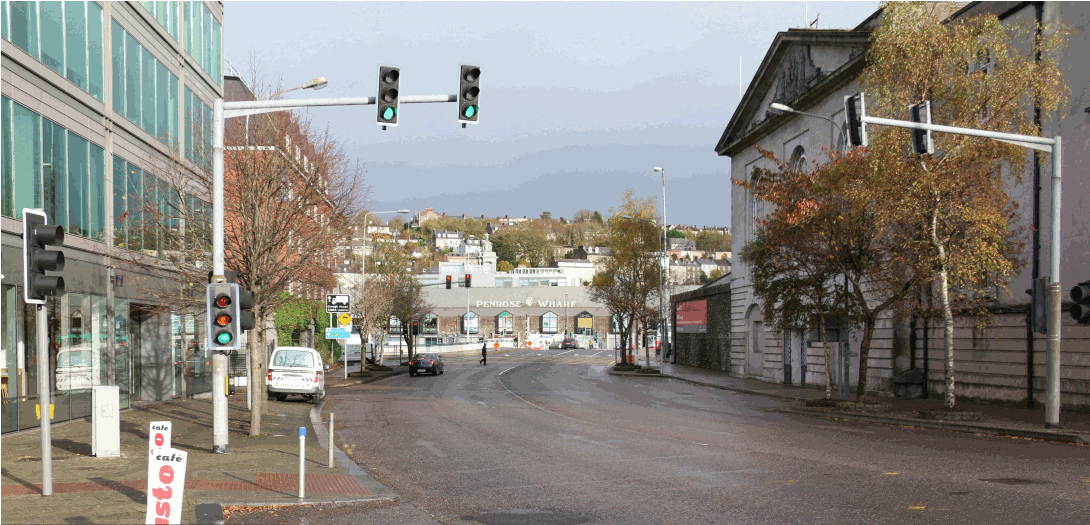
| Penrose Quay from Michael Collins Bridge | Looking east |
|
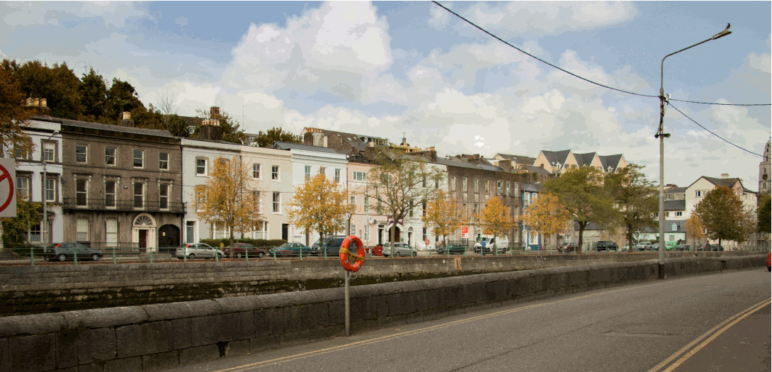
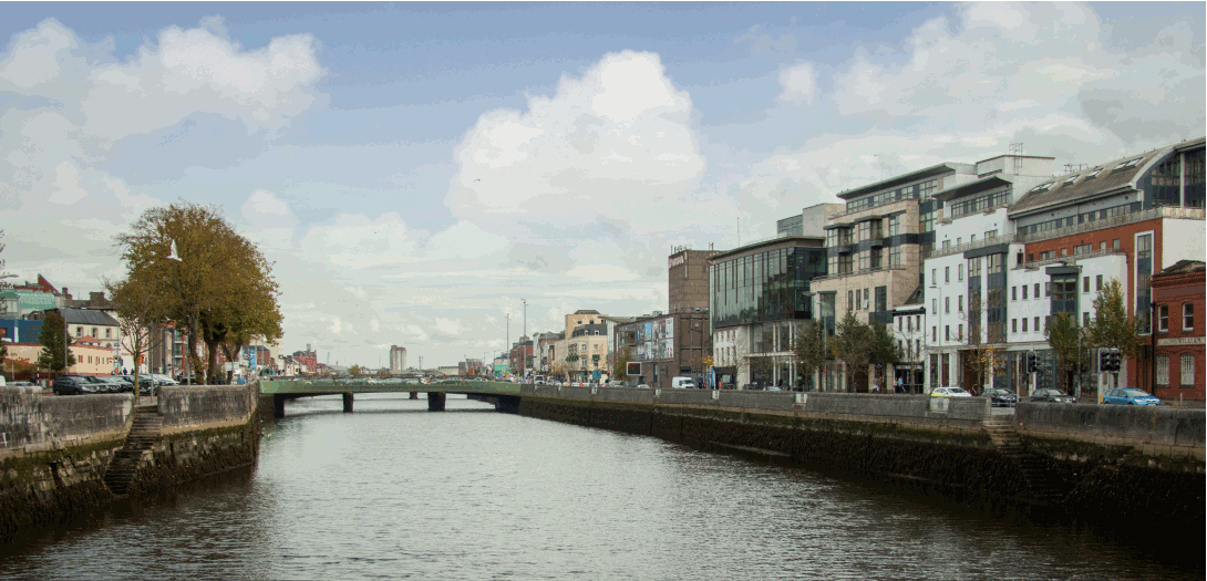
| Albert Quay East | Looking east |
|
| Clontarf Bridge from Clontarf Street | Looking south |
|
| Lapp's Quay | Looking west |
|
| Albert Quay from Clontarf Bridge | Looking east |
|
| Lapp's Quay junction with Parnell Place | Looking east |
|
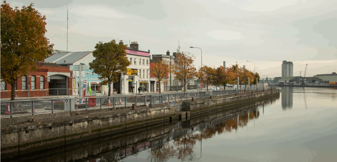
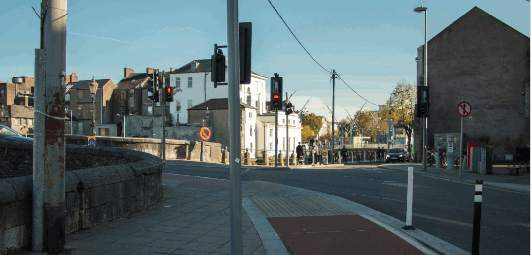
| Terence McSweeny Quay from Parnell Bridge | Downstream (east) |
|
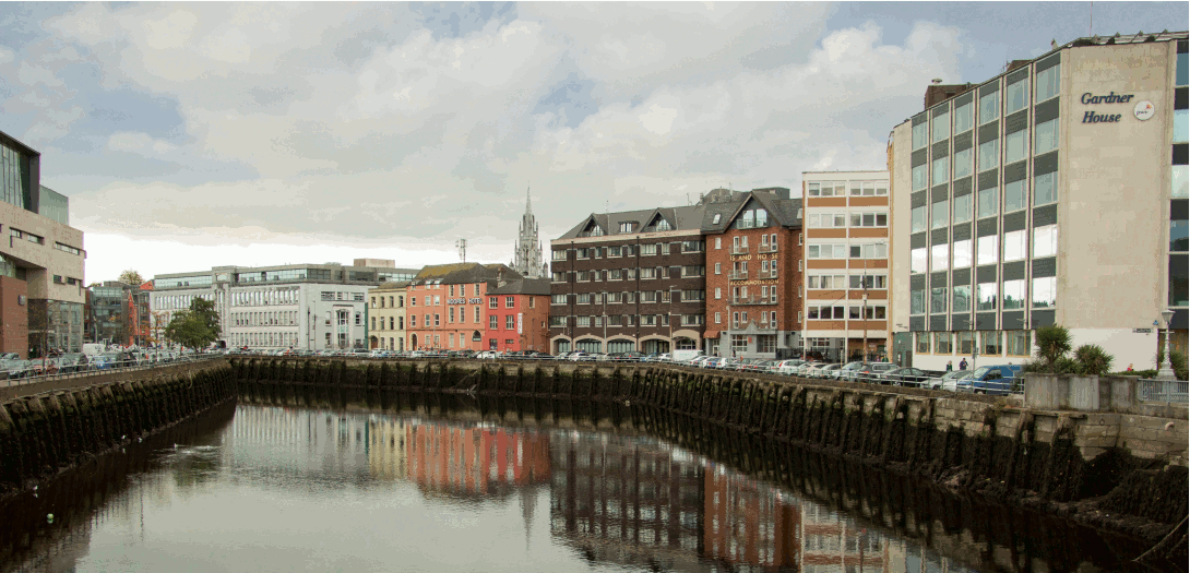
| Morrison's & Union Quay from Parnell Bridge | Upstream (west) |
|
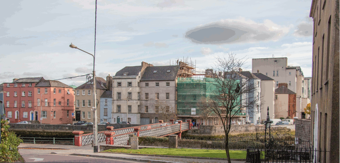
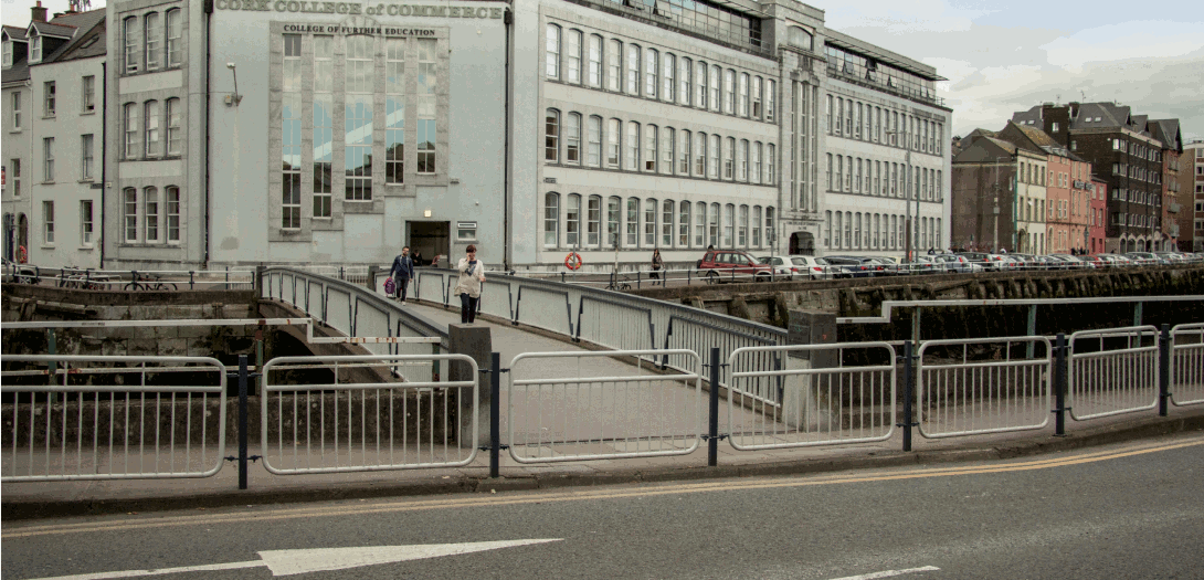
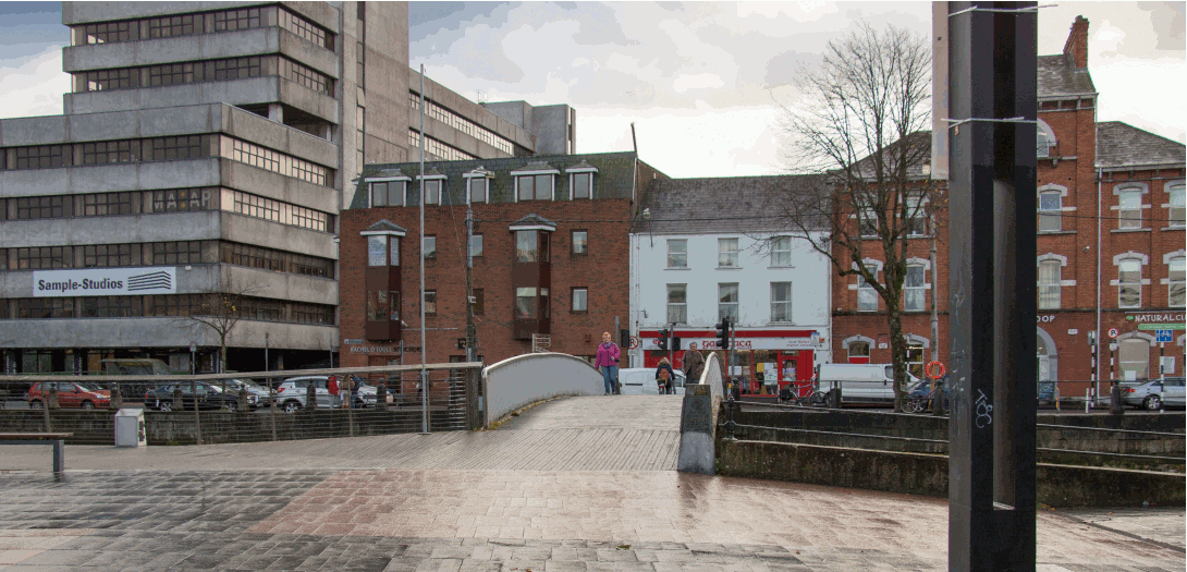
| Trinity Footbridge from South Terrace | Looking north |
|
| Fr. Matthew & George's Quay from Parliament Bridge | Downstream (east) |
|
| Grand Parade Boardwalk | Looking west |
|
| Sullivan's Quay | Looking north west |
|
| Grand Parade & Sullivans Quay from Nano Nagle Bridge | Downstream (east) |
|
| Nano Nagle Bridge from Grand Parade | Looking south |
|
| South Gate Bridge & Sullivan's Quay from French's Quay | Looking east |
|
| Wandesford Quay & Crawford Hall from Clarke's Bridge | Upstream (west) |
|
| St. Finbarr's Bridge from Washington Street | Looking south west |
|
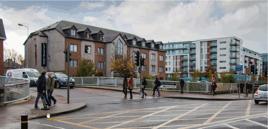
| UCC Entrance on Western Road | Looking west |
|
Environmental Impact
The Environmental Impact Statement (EIS) fulfils the requirements set out by the Environmental Protection Agency (EPA) in the ‘Guidelines on the Information to be contained in Environmental Impact Statements’ (EPA, 2002) and Schedule 6 of the Planning and Development Regulations 2001. The Report also references the ‘Guidelines for Planning Authorities and An Bord Pleanála on carrying out Environmental Impact Assessment’, published by the Department of the Environment, Community and Local Government in March 2013. This EIS was displayed in accordance with the Arterial Drainage Acts 1945 and 1995 as amended, in both Cork City Hall and Cork County Hall between 12th December and the 19th January.
The purpose of the Environmental Impact Statement (EIS) is to document the environment in the vicinity of the proposed development site in an effort to quantify the possible impacts, if any on the environment. The assessment process served to highlight areas where mitigation measures may be necessary in order to protect the surrounding environment from any negative impacts of the proposed development. The objective is to facilitate the most efficient and positive design of the proposed scheme insofar as possible and that measures are in place to ensure that any adverse impacts are avoided, reduced or remedied as appropriate.
The environmental assessment process will be ongoing throughout the planning and design of the project. Information gathered or alternatives suggested arising from public information days, meetings with stakeholders and written representations are considered on the grounds of engineering feasibility, environmental viability, existing constraints and economics.
Environmental Impact Statement
The Environmental Impact Statement is available to download on this page. The EIS is presented in three volumes. Please click on the relevant image for each volume to download the full volume. The individual chapters and appendices are also available to download by clicking on the relevant link.


EIS Volume 1 Main Report
Chapter 1 Introduction
Chapter 2 Background
Chapter 3 Description of Proposed Development
Chapter 4 Human Beings
Chapter 5 Flora and Fauna
Chapter 6 Soils and Geology
Chapter 7 Water
Chapter 8 Air Quality & Climate - Noise & Vibration
Chapter 9 Landscape (Part 1 of 5)
Chapter 9 Landscape (Part 2 of 5)
Chapter 9 Landscape (Part 3 of 5)
Chapter 9 Landscape (Part 4 of 5)
Chapter 9 Landscape (Part 5 of 5)
Chapter 10 Cultural Heritage
Chapter 11 Material Assets
Chapter 12 Traffic and Transport
Chapter 13 Interaction
References

EIS Volume 2 Appendices
Appendix 2A Existing Flood Extents & Proposed Flood Benefit Areas
Appendix 2B Scoping Document Responses
Appendix 2C Public Information Day No. 1 & 2 - Brochure
Appendix 2D Public Information Day No. 1 & 2 - Questionnaire
Appendix 2E Public Information Day No. 1 & 2 - Exhibition Posters
Appendix 2G Scoping Document & Cover Letter
Appendix 3A Project Design Drawings
Appendix 5A Appropriate Assessment Screening
Appendix 5B Lower River Lee Floating River Vegetation Survey
Appendix 5C Invasive Plant Survey
Appendix 5D Bat Survey Report
Appendix 5E Lower Lee Electro-Fishing Survey and Licence Return Report
Appendix 5F Sea lamprey (Petromyzon marinus red) survey
Appendix 7A Lower River Lee & Biological Q-Sampling Report
Appendix 8A Noise Glossary
Appendix 8B Survey Details
Appendix 8C Profiles and Spectra
Appendix 10A Underwater Archaeological impact Assessment
Appendix 10B Photographs (Including Historical Images)
Appendix 10C Archaeological and NIAH Inventory Entries
Appendix 10D Cultural Heritage Maps