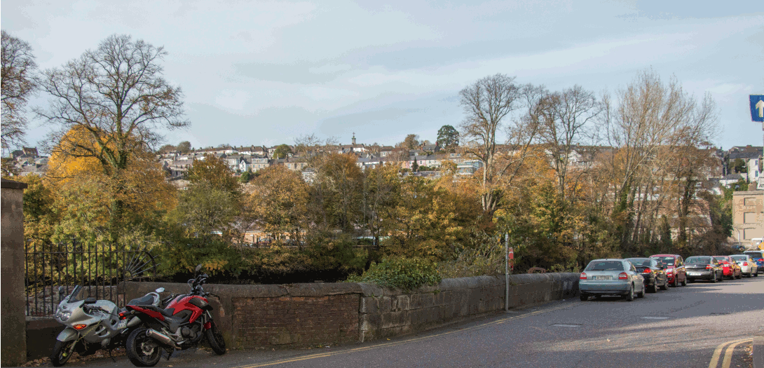
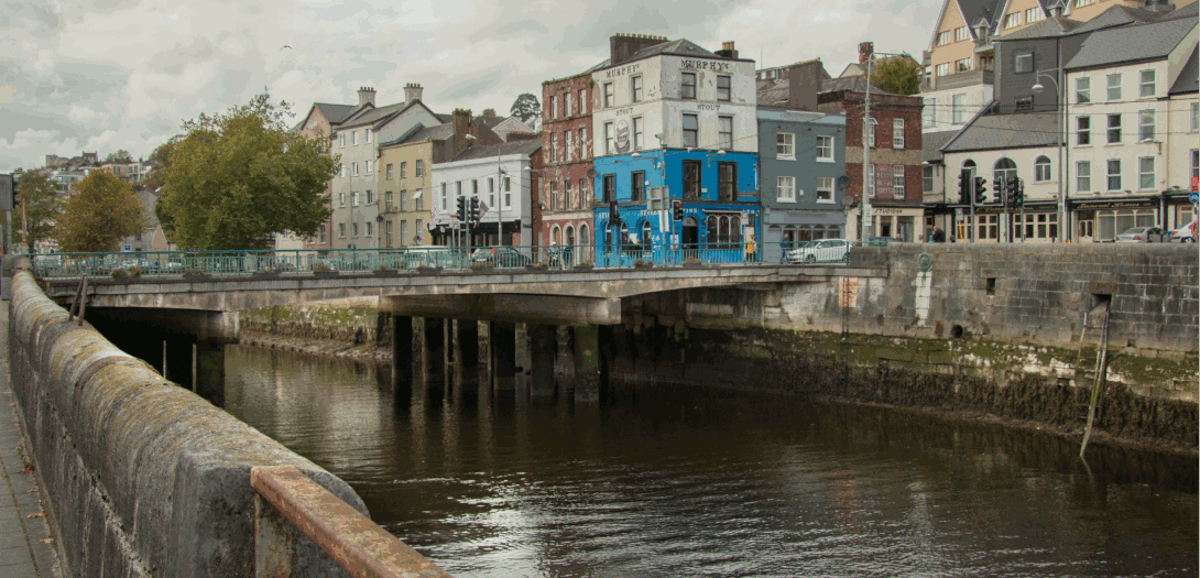
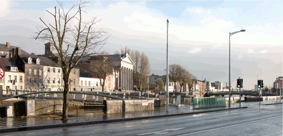
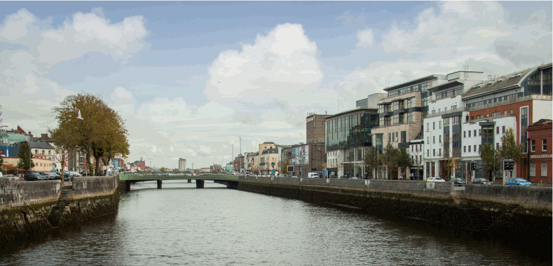
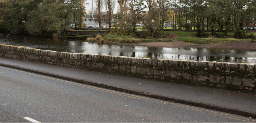
Public Exhibition Drawings and Photomontages
The complete set of Exhibition Drawings can be downloaded here.
Public Exhibition Map
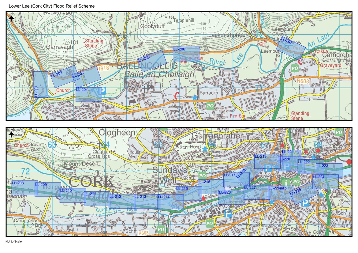
These drawings include:
- Flood Defence Plan
- Flood Defence Work Sections
- Flood Defeence Work Finishes
- Acssess Routes and Work Areas
- Photomontages (where applicable)
- Flood Extents and Benefitting Areas
- Designated Washlands/Floodplains
- Channel Codes
The drawings linked below should be read in conjuction with the relevant scheme wide drawings here.
The individual exhibition doucments can be accessed by clicking on the relevant file in the second column below.
Photomontages
The individual photomontages can be accessed by clicking on the relevant file in the third column below. The existing and proposed view at each location have been combined into one file (gif file).
Alternatively you can download the complete set of Photomontages here.
|
View and Location |
View Orientation |
File showing existing and proposed view |
|---|---|---|
|
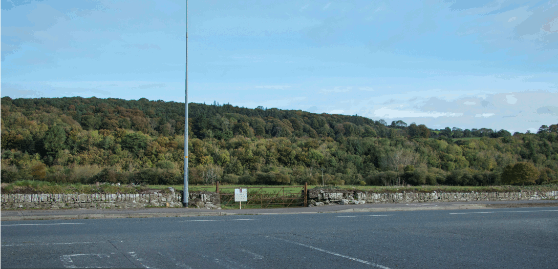
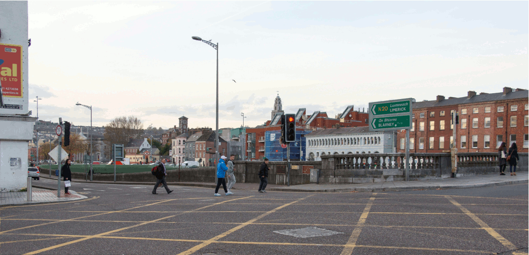
Inchigaggin Lane junction on Carrigrohane Road
|
Looking north
|
|
|
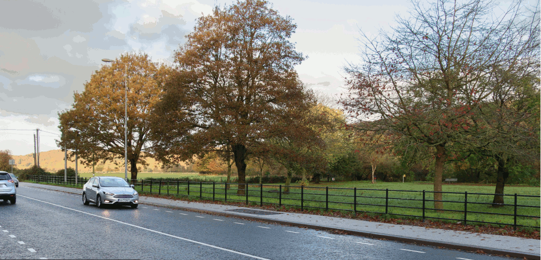
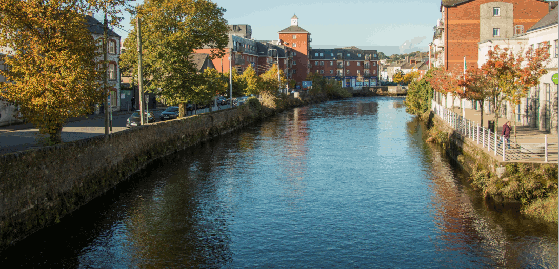
Lee Fields west from Carrigrohane Road
|
Looking west
|
|
|
Lee Fields east (Car Park) from Carrigrohane Road
|
Looking west
|
|
|
Lee Fields (Kingsley Hotel) from Carrigrohane Road
|
Looking east
|
|
|
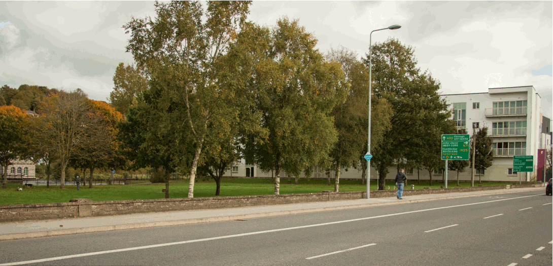
Lee Fields (Kingsley Hotel) from Carrigrohane Road |
Looking east |
|
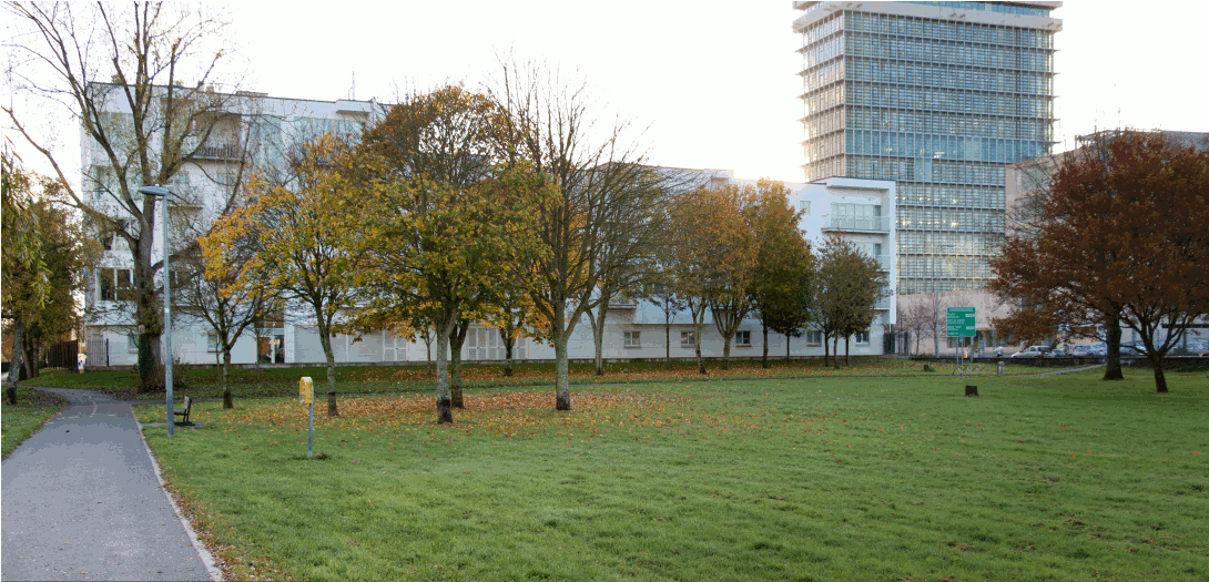
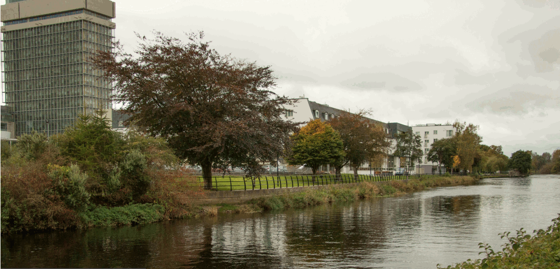
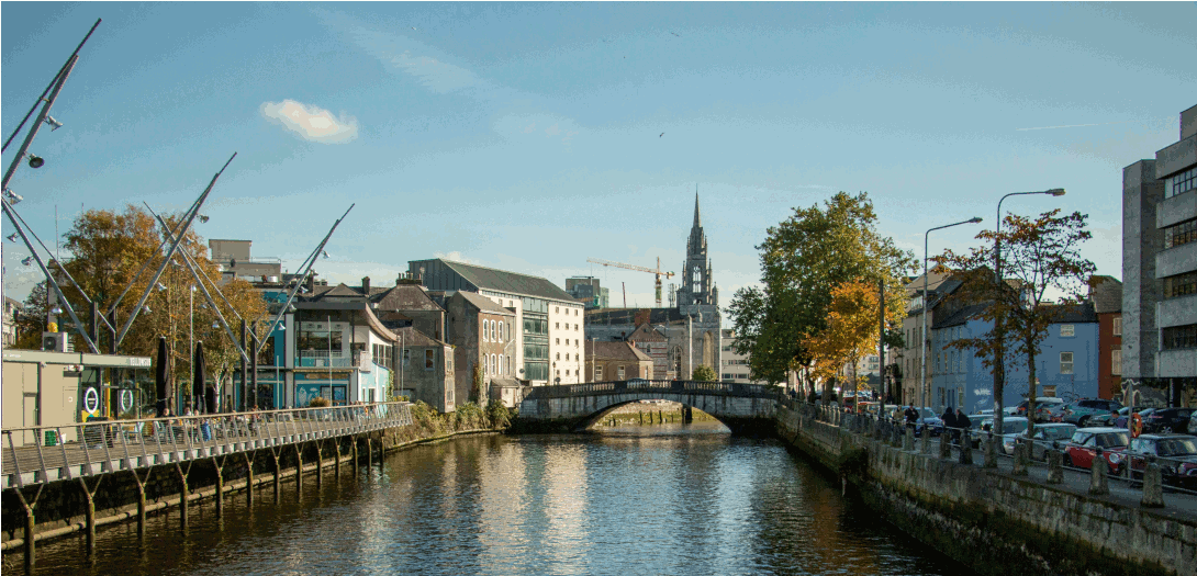
| Kingsley and County Hall from Sacred Heart | Looking west |
|
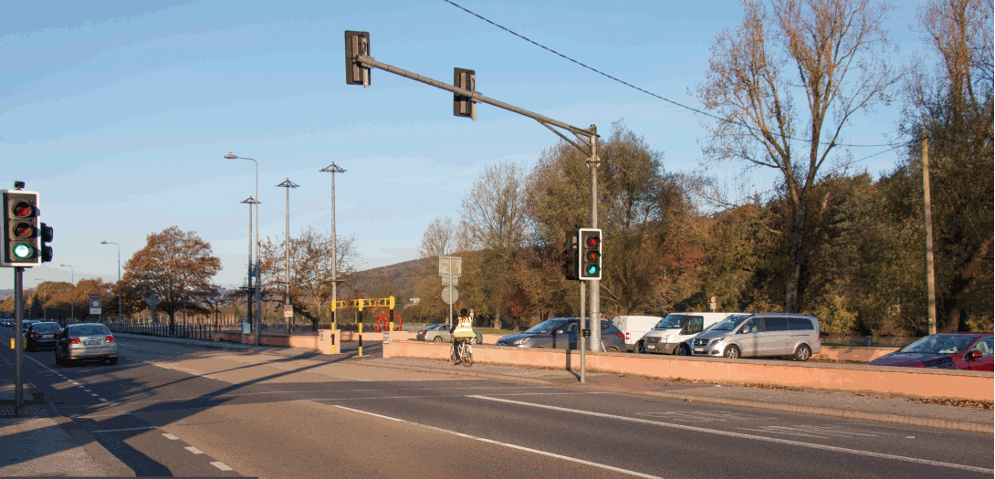
| Victoria Cross Pedestrian Bridge | Looking west |
|
| Sunday's Well Road | Looking south east |
|
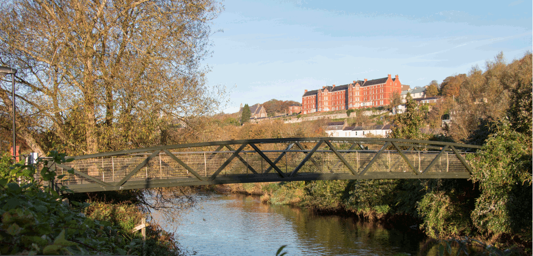
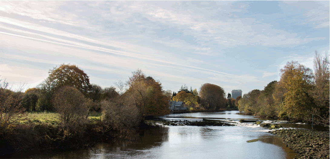
| Daly's (Shakey) Bridge | Upstream (west) |
|
| Daly's (Shakey) Bridge | Downstream (east) |
|
|
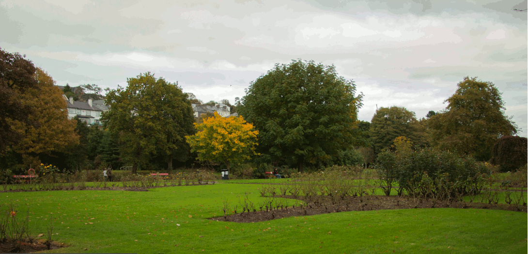
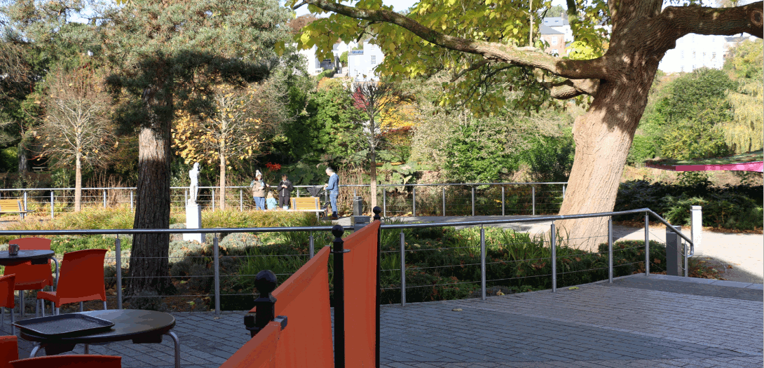
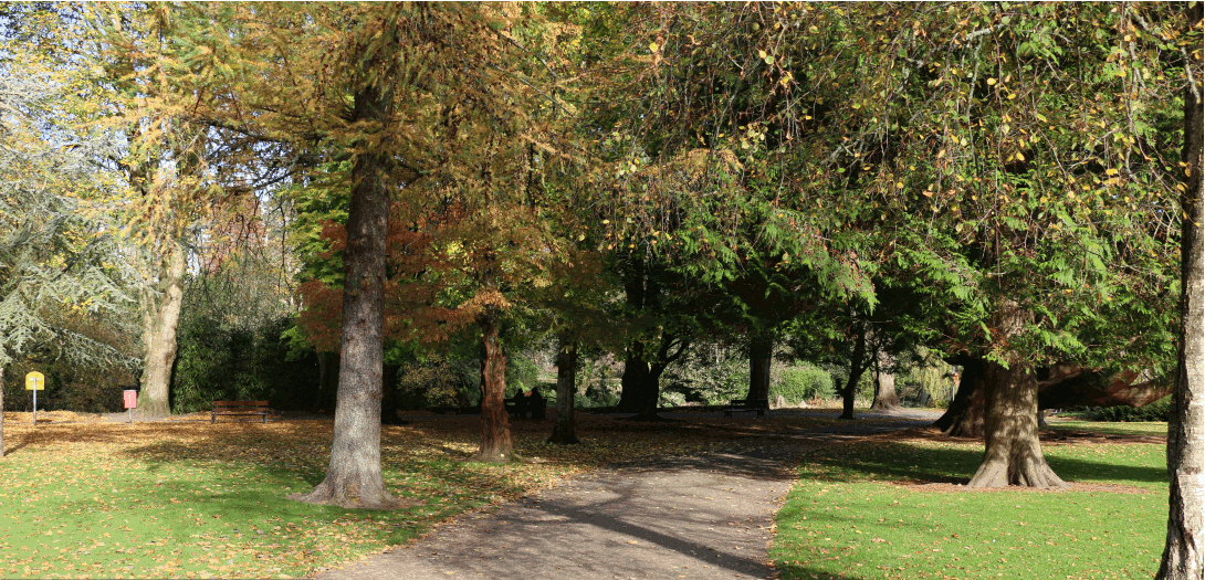
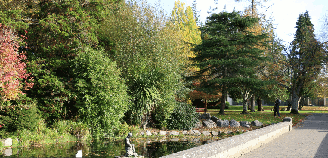
Fitzgeralds Park 1 - Ferry Walk Entrance
|
Looking east
|
|
| Fitzgeralds Park 2 - West | Looking east |
|
| Fitzgeralds Park 3 - Mid | Looking east |
|
| Fitzgeralds Park 4 - East | Looking north |
|
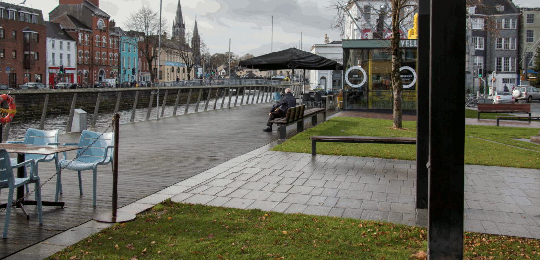
| Fitzgeralds Park 5 - Café | Looking north |
|
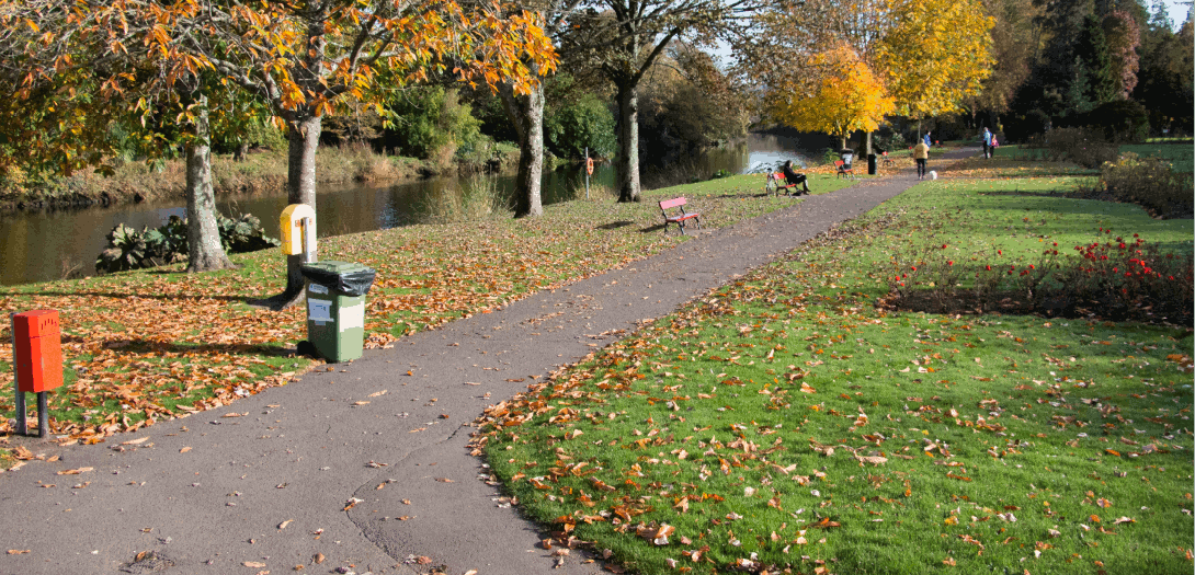
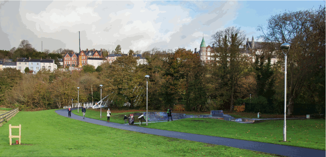
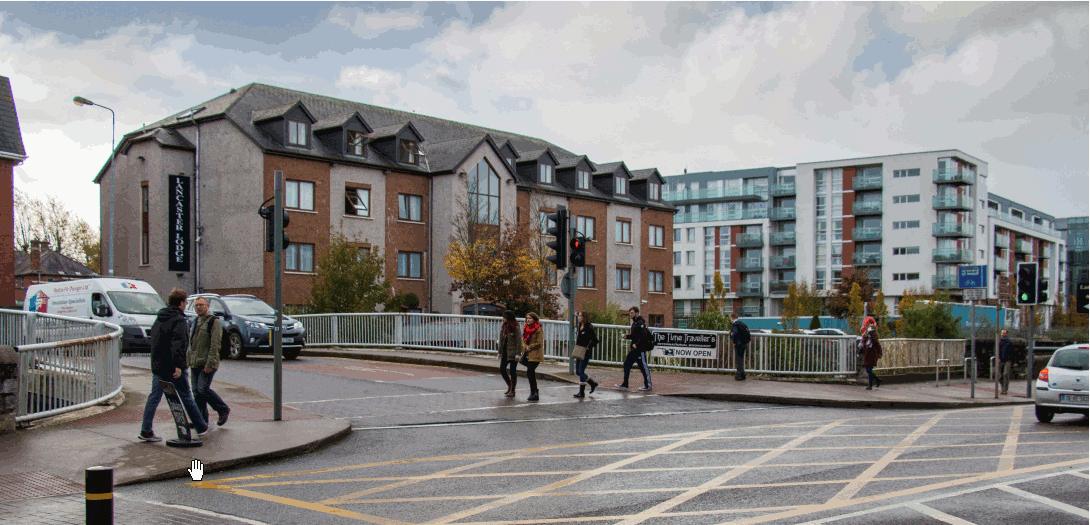
| Mardyke Walk Skate Park | Looking north |
|
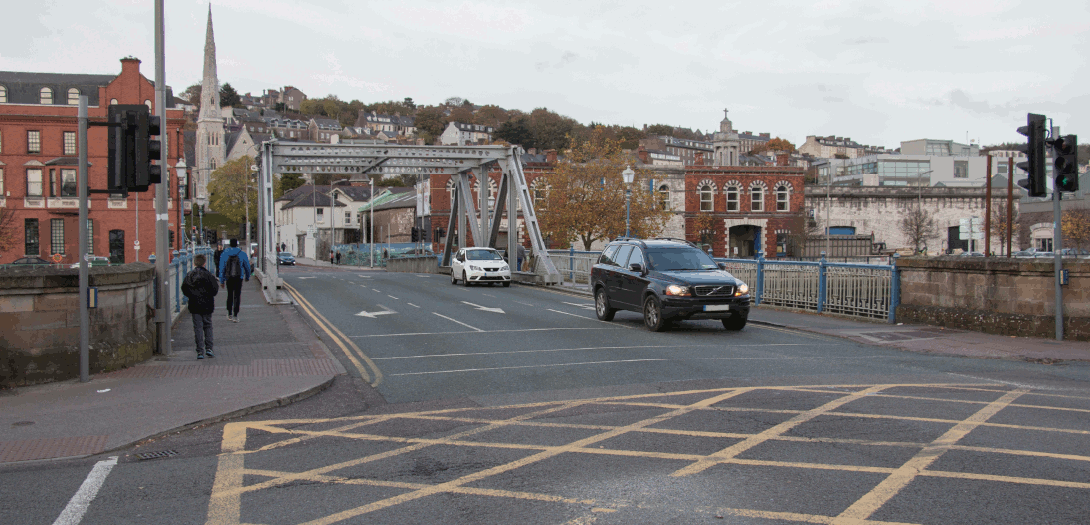
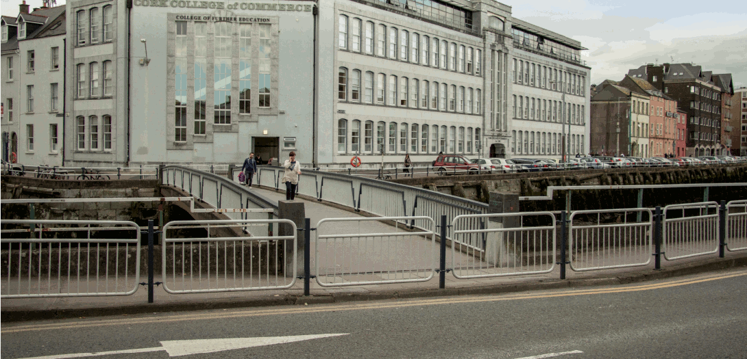
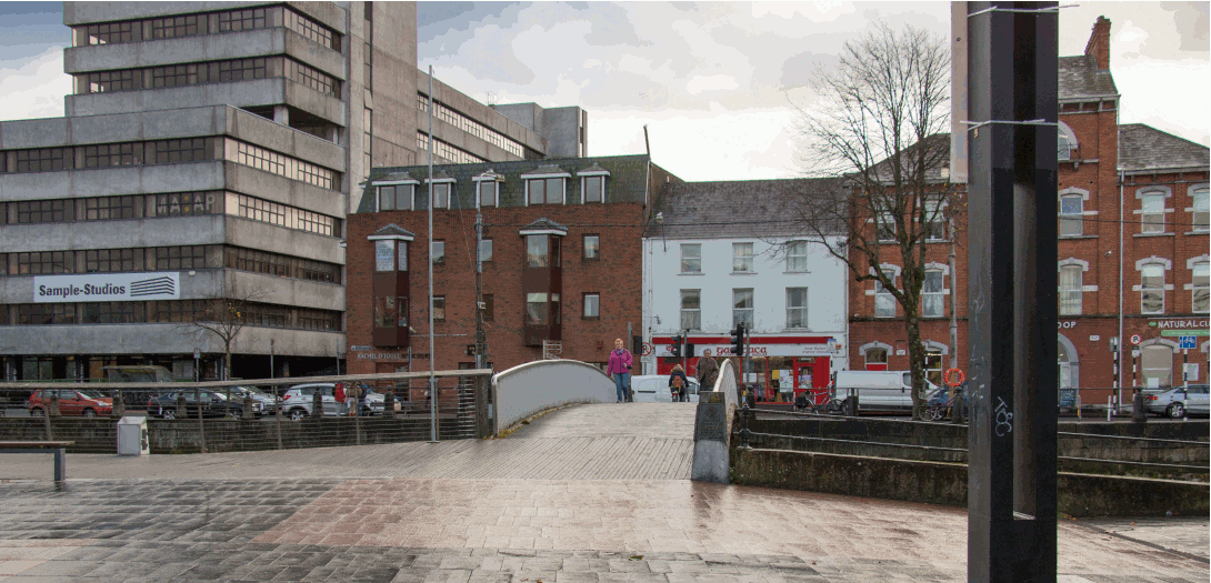
| Mardyke Pedestrain Bridge | Upstream (west) |
|
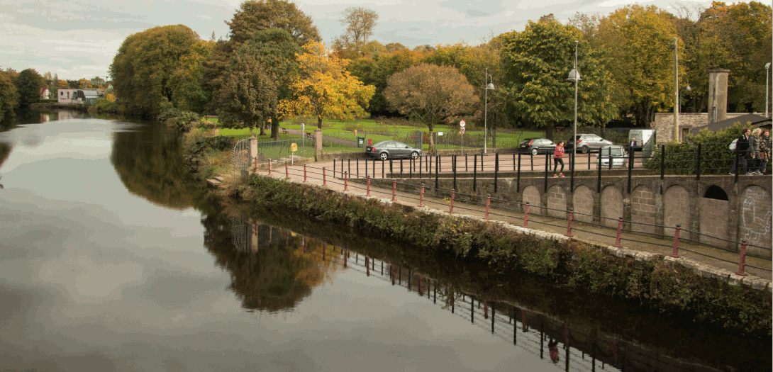
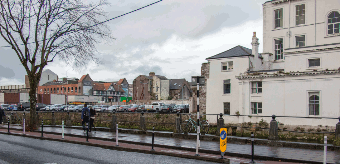
| Grenville Place from Mercy Hospital | Looking north west |
|
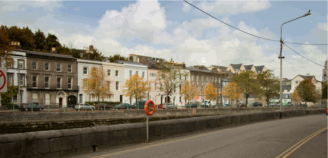
| North Mall west | Looking east |
|
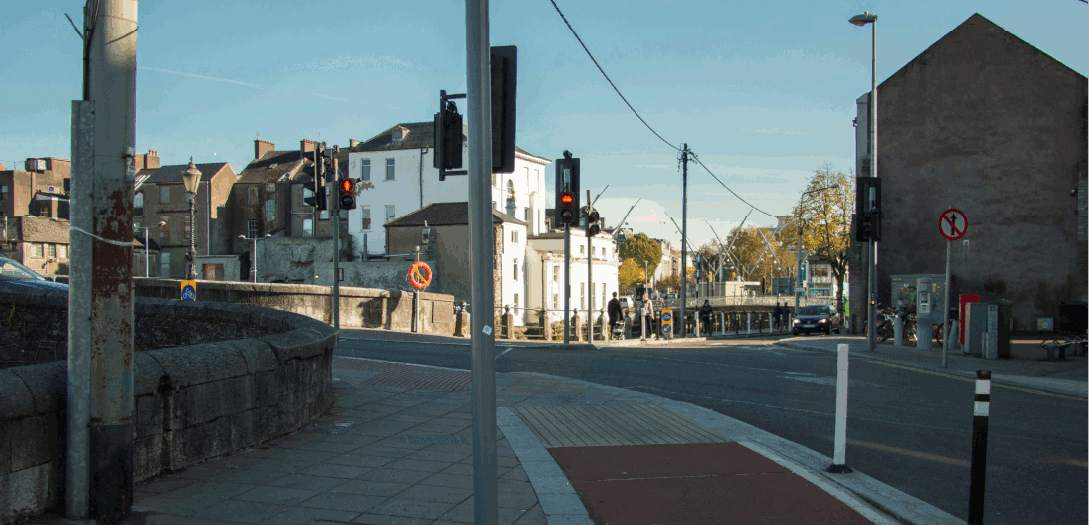
| St. Vincents Bridge from Sundays Well Road | Looking east |
|
| North Mall from Bachelors Quay | Looking north |
|
| North Gate Bridge/Griffith Bridge from Kyrl's Quay | Looking west |
|
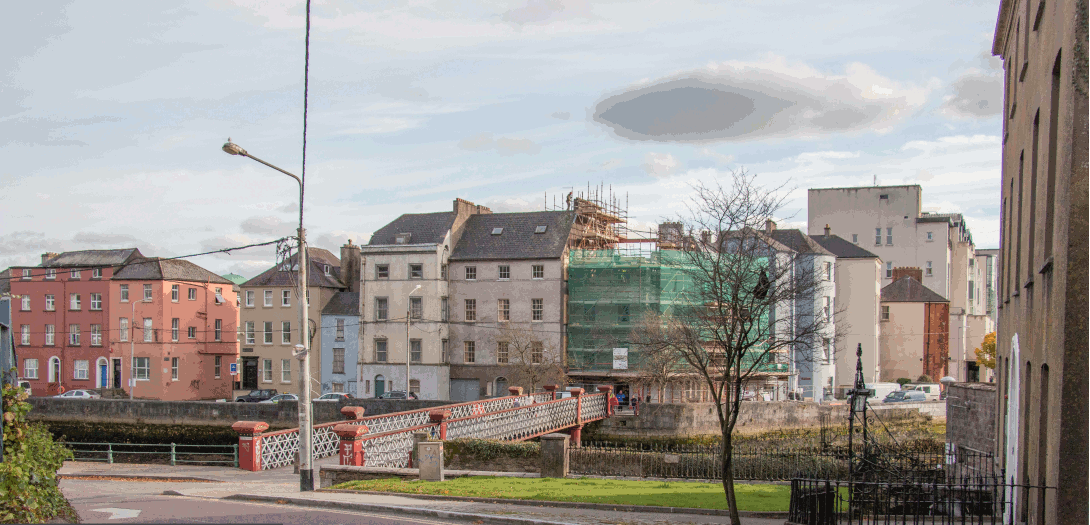
| Cornmarket Street Pedestrian Bridge from Kyrl's Quay | Looking east |
|
| Cornmarket Street Pedestrian Bridge to Christy Ring Bridge | Looking east |
|
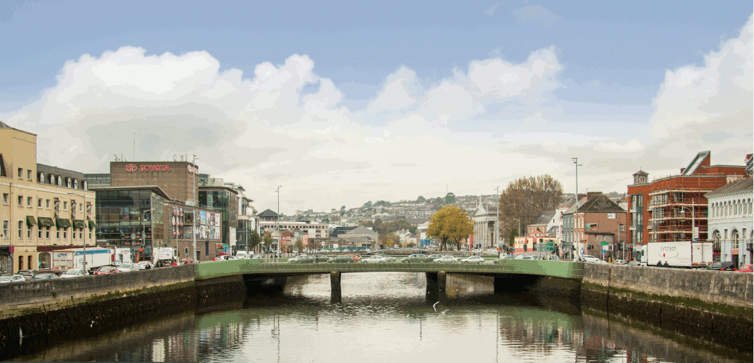
| Christy Ring Bridge from St. Patricks Bridge | Looking west |
|
| Lavitt's Quay from St Patricks Street | Looking west |
|
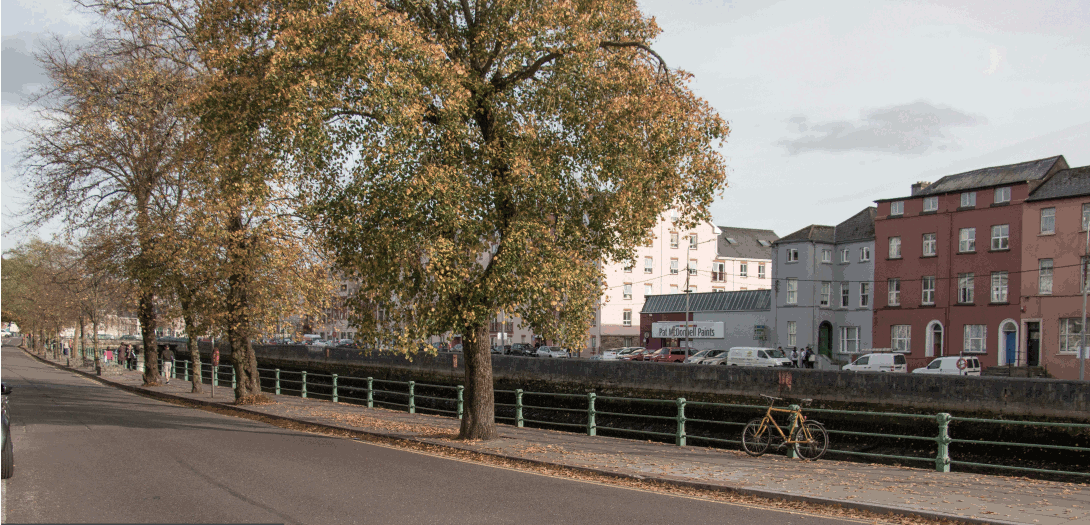
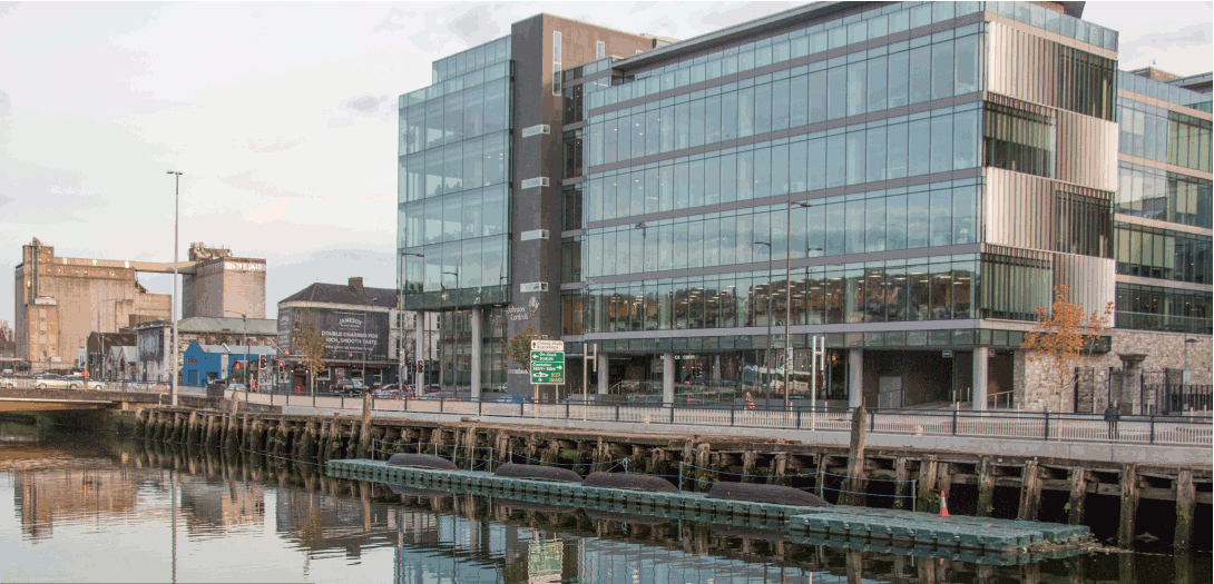
| Merchants Quay | Looking north east |
|
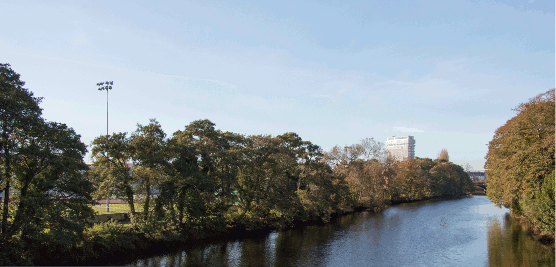
| Brian Boru Bridge from Bus Station | Looking north |
|
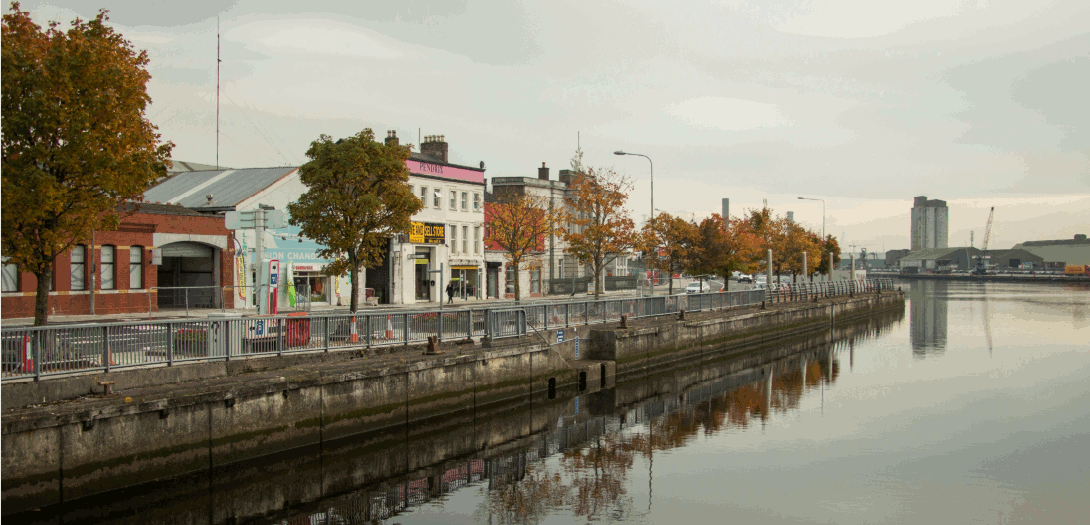
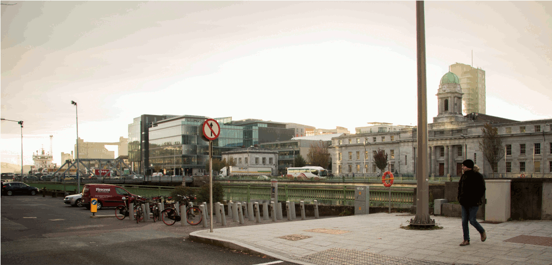
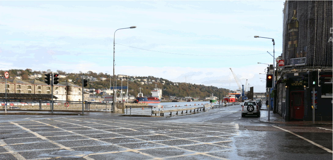
| Anderson's Quay | Looking north east |
|
| Custom House Street | Looking north |
|
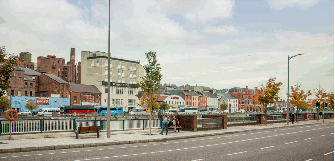
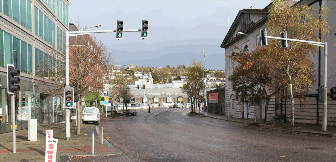
| Penrose Quay from Michael Collins Bridge | Looking east |
|
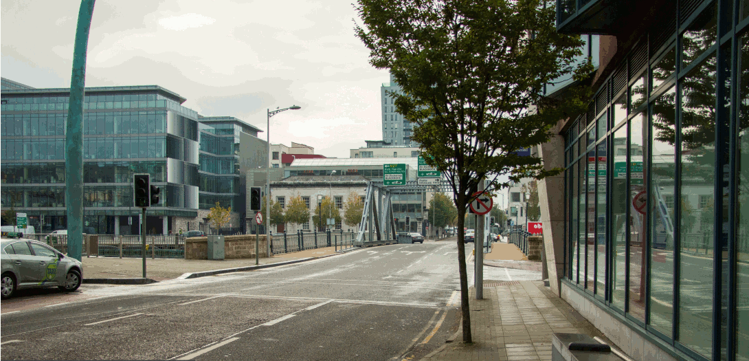
| Albert Quay East | Looking east |
|
| Clontarf Bridge from Clontarf Street | Looking south |
|
| Lapp's Quay | Looking west |
|
| Albert Quay from Clontarf Bridge | Looking east |
|
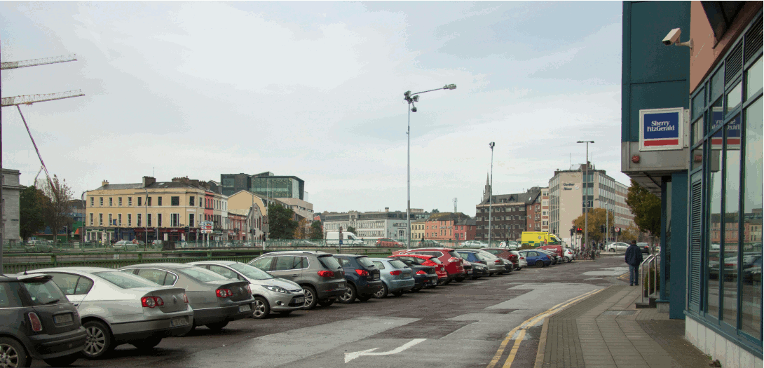
| Lapp's Quay junction with Parnell Place | Looking east |
|
| Terence McSweeny Quay from Parnell Bridge | Downstream (east) |
|
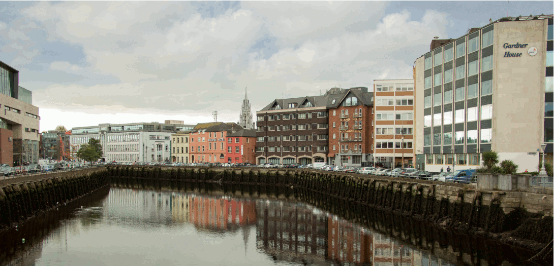
| Morrison's & Union Quay from Parnell Bridge | Upstream (west) |
|
| Trinity Footbridge from South Terrace | Looking north |
|
| Fr. Matthew & George's Quay from Parliament Bridge | Downstream (east) |
|
| Grand Parade Boardwalk | Looking west |
|
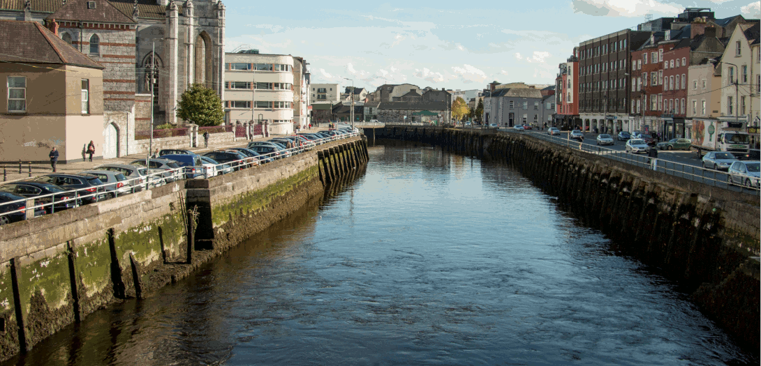
| Sullivan's Quay | Looking north west |
|
| Grand Parade & Sullivans Quay from Nano Nagle Bridge | Downstream (east) |
|
| Nano Nagle Bridge from Grand Parade | Looking south |
|
| South Gate Bridge & Sullivan's Quay from French's Quay | Looking east |
|
| Wandesford Quay & Crawford Hall from Clarke's Bridge | Upstream (west) |
|
| St. Finbarr's Bridge from Washington Street | Looking south west |
|
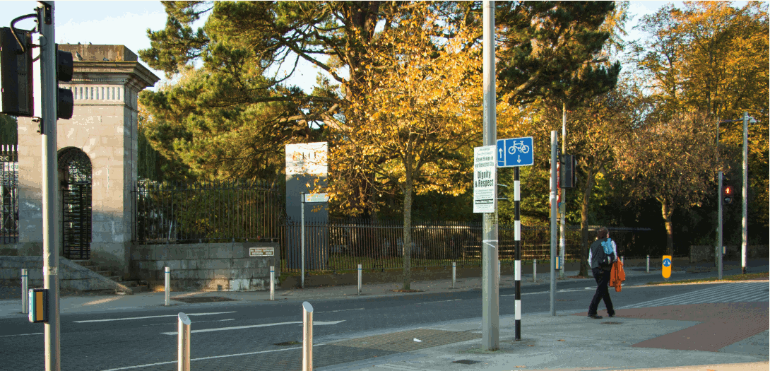
| UCC Entrance on Western Road | Looking west |
|