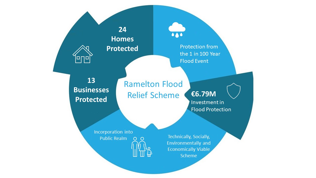
Ramelton Flood Relief Scheme

Latest News
News Item No.23 - Newsletter No.14 - September 2025
News Item No.24 - Newsletter No.15 - December 2025
News Item No.25 - Newsletter No.16 - March 2026
News Item No.26 - Newsletter No.17 - July 2026
Introduction
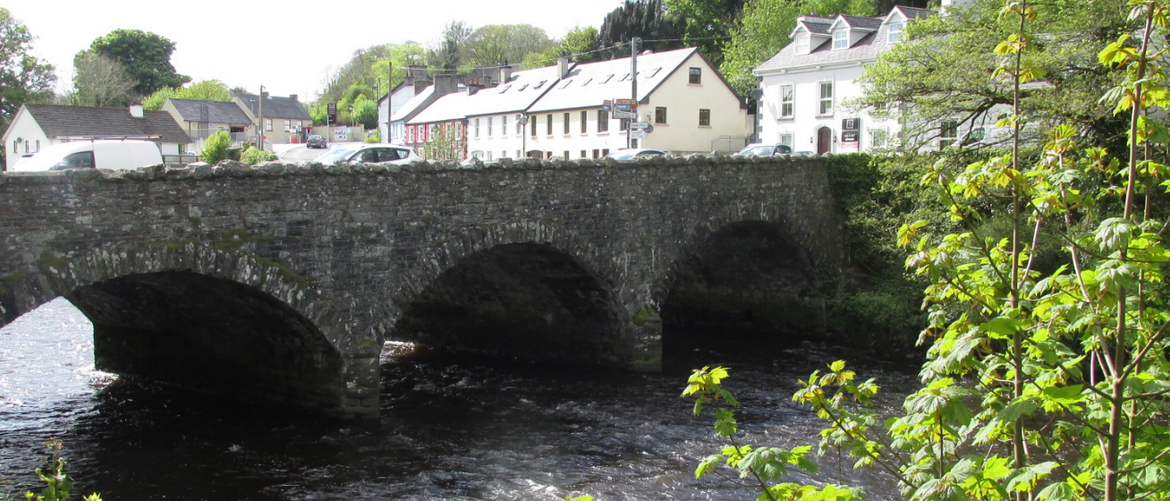
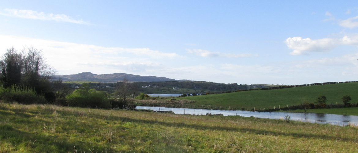
Ramelton (Ráth Mealtain) is a heritage town situated at the mouth of the River Leannan and on the western shore of Lough Swilly. It is located approximately 11 km north of Letterkenny, Donegal. It is a commercial centre providing shopping and social amenities to surrounding communities in the area.
The River Leannan flows through the town, the Ballybokeel (Newmill) and the Pound Street watercourse (Ramelton River) flow just to the east of it. All three outfall to the Lough Swilly Estuary and are tidally influenced in their respective downstream reaches as a result. The town is located at the junction of the Leannan River and the Lough Swilly Special Area of Conservations (SAC), and next to the Lough Swilly Special Protection Area (SPA). The Lough Swilly SAC is estuarine in character and covers a large area, with the River Leannan recognised as one of the main rivers flowing into the site. The area supports a population of Otter. The Leannan River SAC comprises the River Leannan and its main tributaries and lakes. Species of qualifying interest at the SAC include freshwater pearl mussel, Atlantic salmon, otter and slender naiad.
The SPA is of special conservation interest for a number of wetland and waterbird bird species including Whooper Swan, with the area supporting internationally important numbers of this species. The SPA is also recognised as having nationally important populations of 18 wintering waterbird species.
To address flooding issues nationally, the Office of Public Works (OPW) commissioned and completed Catchment and Flood Risk Management (CFRAM) studies covering the entire country. The North Western – Neagh – Bann CFRAM Study was completed with support from Donegal County Council. An output of the study identified flood risk areas, including Ramelton, and the associated impacts of flooding. The plan also set out the measures and policies to be pursued in order to achieve the most cost effective and sustainable management of flood risk.
There is a history of pluvial (rainfall), fluvial (river) and tidal flooding at Ramelton with recent events recorded in August 2014, January 2012, and October & December 2011.
As part of the Government’s National Development Plan 2018-2027, €1 billion has been committed to the development of flood relief measures across Ireland. As part of this commitment, a steering group was established between the Office of Public Works (OPW) and Donegal County Council to progress a flood relief scheme to alleviate the risk of flooding for Ramelton. In Spring 2021, Ayesa (formerly ByrneLooby) were appointed Engineering and Environmental Consultants to develop a scheme that is technically, socially, environmentally, and economically acceptable, to alleviate the risk of flooding to the community of Ramelton.
Ayesa will identify appropriate flood risk alleviation measures for Ramelton town and prepare detailed design, drawings and documents to facilitate submission of a planning application as per the Planning and Development Act (2000), the Planning and Development Regulations (2001) and subsequent construction of the scheme. ByrneLooby will prepare a Natura Impact Statement and Environmental Impact Assessment Report, where required, under the relevant legislation.
Link to: