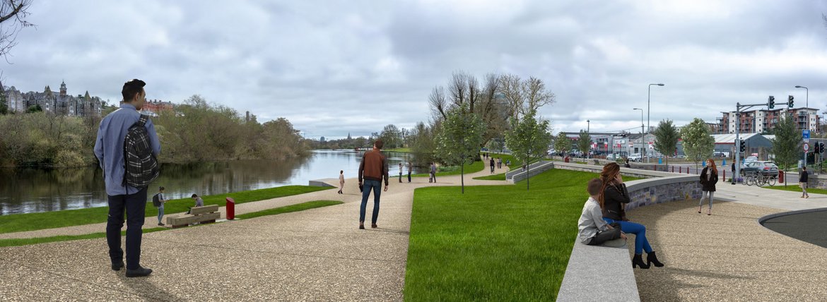
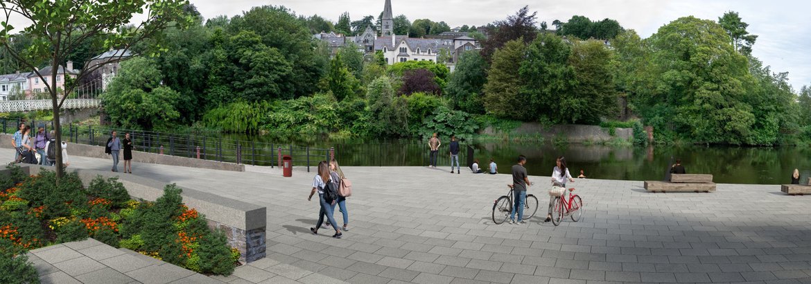
Enhanced Placemaking
(including proposed riverside walkways, cycleways and plazas)
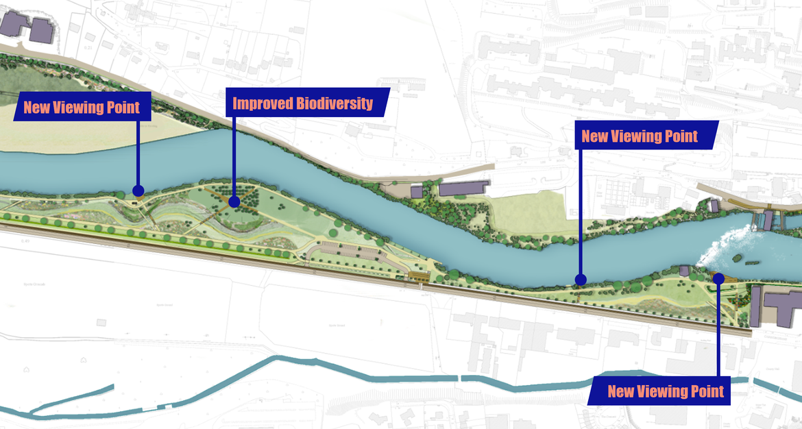
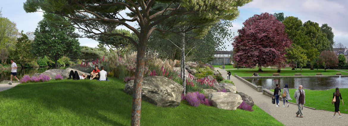
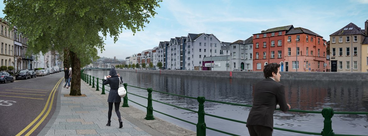
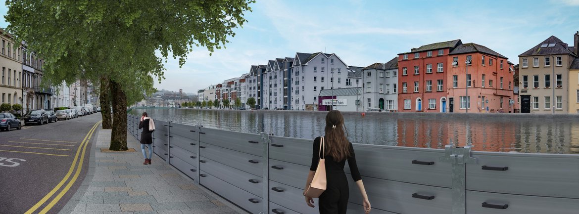
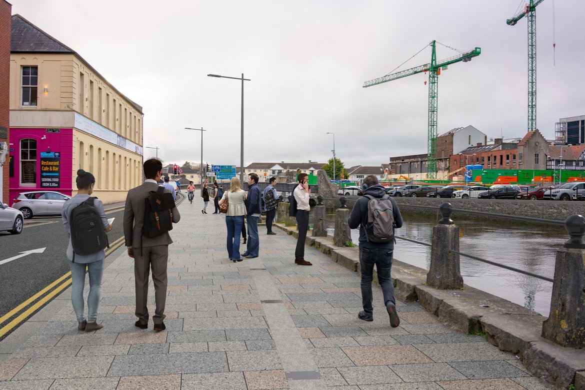
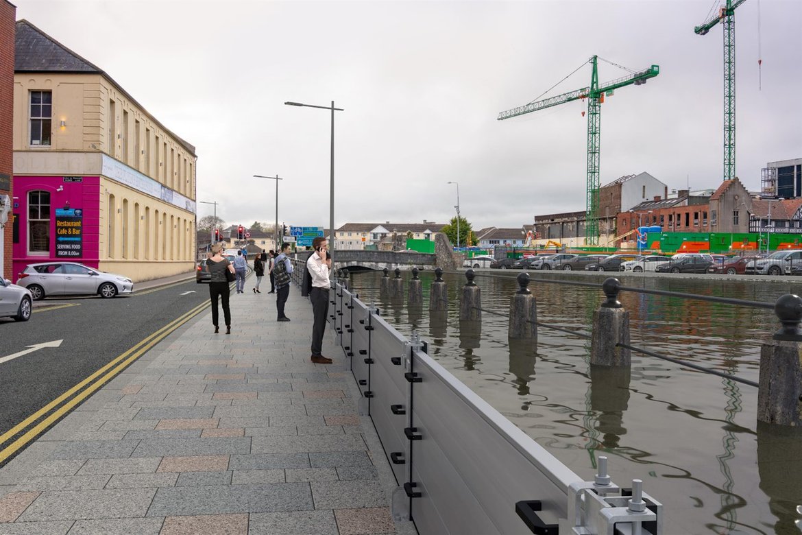
A significant part of the project is to take the opportunity when constructing flood defence infrastructure to enhance the landscape and amenity value along the river corridor.
The Design Team includes a Landscape Architect and Urban Designer as well as a Conservation Architect who have developed a public realm design framework and placemaking strategy for the entire area of the scheme.
Whilst designs for each area are specific to the location, there are a number of overarching principles. These include:
- Enhanced Natural Resilience
- Enhanced Biodiversity
- Enhanced Placemaking
Accordingly, proposals for the LLFRS have been developed with care, responding to the specific characteristics of each area, from the City Centre quaysides to the rural landscape to the west. The design has been informed by a thorough assessment of the landscape character, built and natural heritage, as well as being shaped by conversations with stakeholders.