Introduction
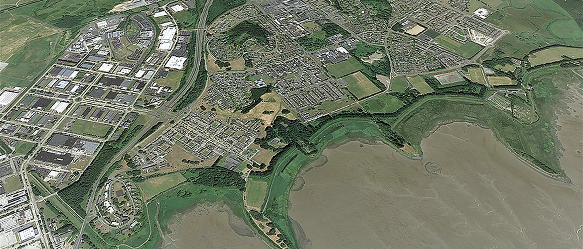
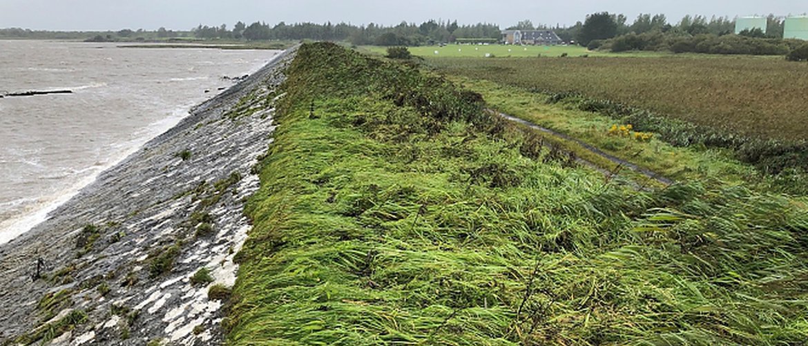
In the 1940s and 1950s as Shannon Town and Airport began to develop, a series of embankments (6km approx.) along the north side of the Shannon Estuary were constructed to separate the low-lying lands from the tidal waters to the south which would facilitate this development.
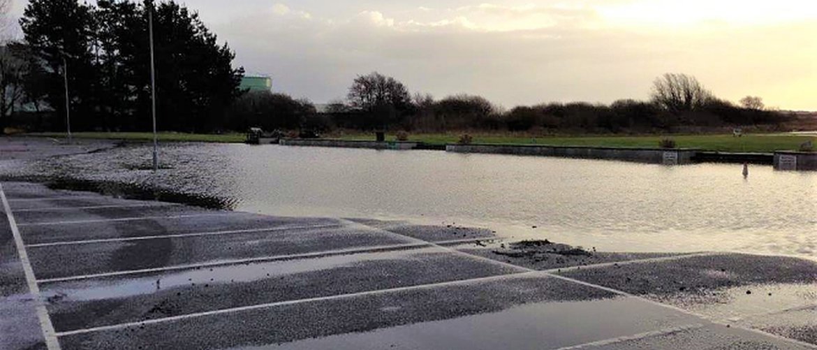
Today Shannon Town and Airport area are at risk of flooding from both coastal and fluvial (stream/river) sources. The main sources of coastal flooding are wave water overtopping the embankment crest driven by strong wind during high tide periods and also through any potential breaches in the embankments. The main sources of fluvial flooding are mainly the inadequate capacities of the existing storm water drainage systems (surface water channels/culverts and pumping systems) and limited outflow capacities of the tidally affected outfall systems.
The OPW, working in partnership with Clare County Council and other Local Authorities, have completed the Shannon Catchment Flood Risk Assessment and Management (CFRAM) Study. The Shannon CFRAM Study Area identified Shannon Town & Shannon Airport as an Area of Further Assessment (AFA) and IRR Individual Risk Receptor (IRR) respectively and concluded that a flood relief scheme would be viable and effective for the community.
In July 2020 OPW in partnership with Clare County Council appointed RPS to further assess the CFRAM Study identified options and prepare a detailed scheme for Shannon which is economically viable and environmentally sustainable. The entire scheme will be implemented in five different stages. Stage I is currently ongoing which has commenced in August 2020.
This website has been set up to provide information to members of the public and to keep you informed of the project's progress.
Latest News
Public Consultation Event No 2 Report
Public Consultation Event Emerging Preferred Options
Venue: Treacys Oakwood Hotel, Airport Road, Shannon, Co Clare
Date: Wednesday, 25th October 2023
Time: 4pm – 8pm
Project Newsletter
The latest newsletter from June 2024 is available here


