BACKGROUND INFORMATION
Nicholas O’Dwyer Limited (NOD) has been commissioned to carry out the Marlfield Lake Flood Relief Scheme (FRS) by Tipperary County Council (TCC), working in partnership with the Office Public Works (OPW).
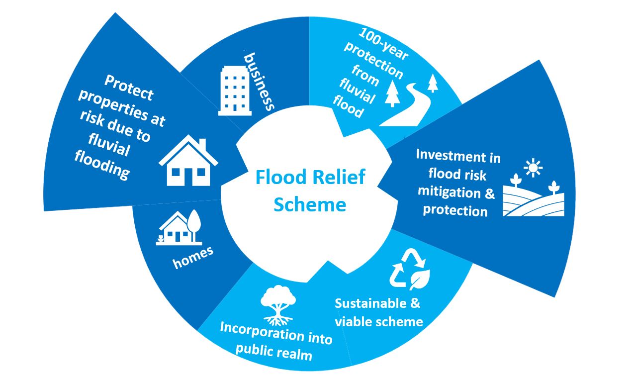
The overall objective of this project is the identification, design and submission (for planning consent) of an FRS to alleviate the risk of flooding to the community of Marlfield.
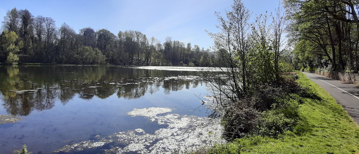
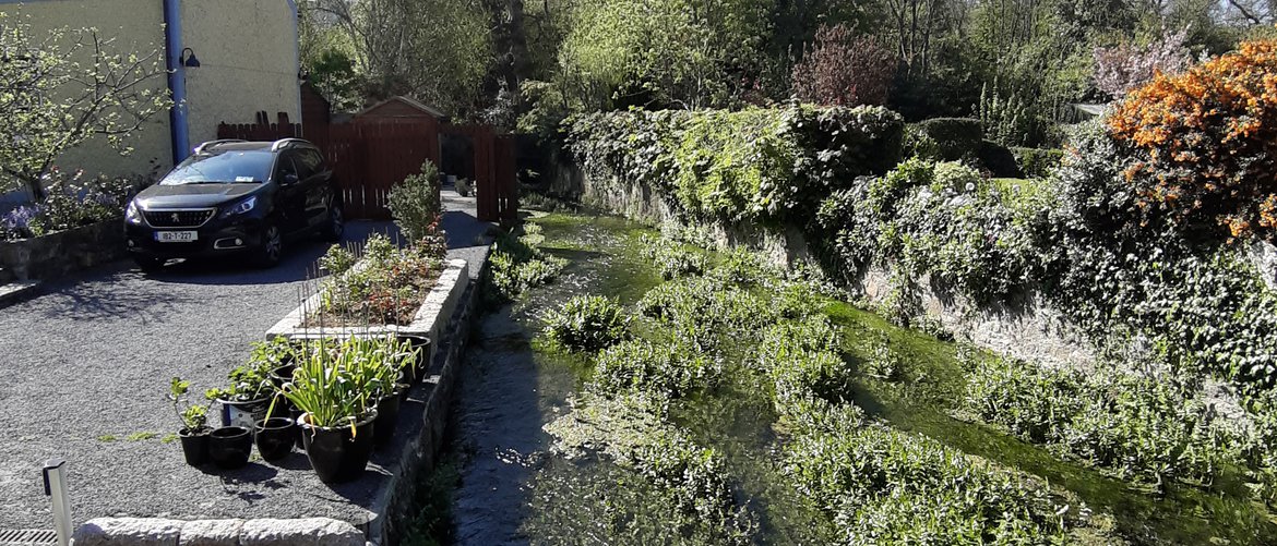
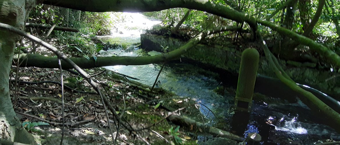
The village of Marlfield is located south west of Clonmel Town. Flooding has occurred in the past when the flow from the upstream catchment exceeds the capacity of culverts in the village. Immediately north and upstream of Marlfield village is Marlfield Lake. This is an artificial lake made by damming the river during the mid 1700's. The lake was created to power mill machinery and it covers an area of approximately 5.6 ha. There were originally several outlets including an overflow weir and at least two sluices, however one of the sluices has been blocked and the other has fallen into disrepair.
Flooding from the lake run-off at Marlfield village has occurred on several occasions in the recent past which caused significant damage to some houses immediately downstream. Noted recent flood events include:
- 29th December- 2nd January 2013/2014
- 19th & 20th November 2009
What has been done so far?
- Environmental baseline studies have been carried out.
- A CCTV survey of the culverts in Marlfield village has been undertaken.
- Topographic surveys have been carried out in the scheme area.
- A geophysical survey has been carried out to determine the depth to rock in the scheme area.
- Long-term flow and rainfall monitors have been installed in the catchment.
- The hydrological assessment and hydraulic modelling of the existing situation in the scheme area has been completed.
What is next?
The project team is now screening options for alleviating flooding in Marlfield village. Public consultations will be undertaken following which an emerging preferred option will be determined.
Mailing List
Steering Group Members
