RIVER DODDER FLOOD ALLEVIATION SCHEME PHASE 3
Home
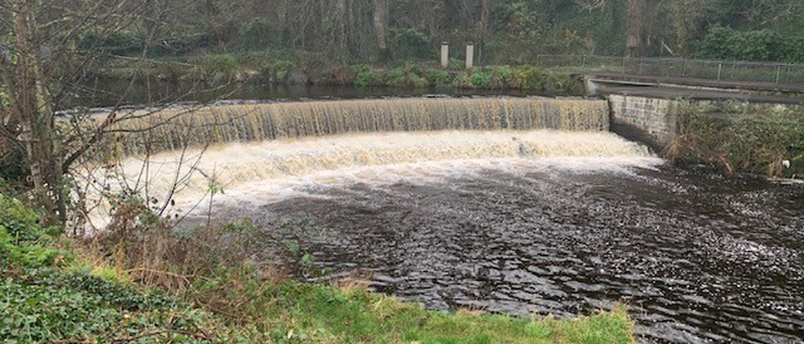
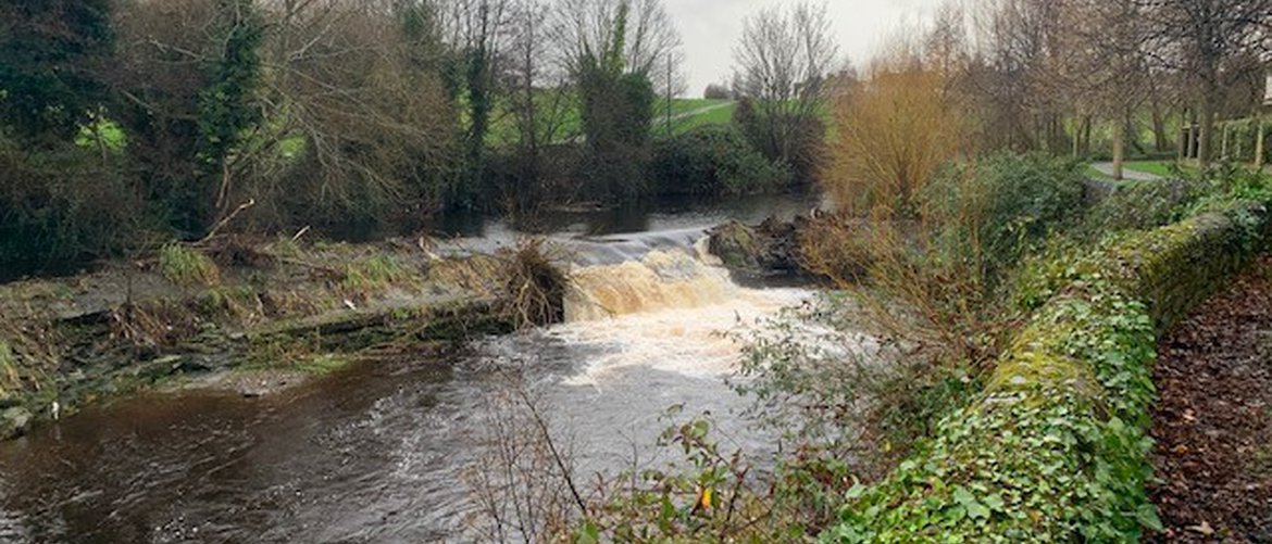
The River Dodder is one of Dublin’s best known and most important river. It’s catchment stretches from the River Liffey Estuary at Ringsend in Dublin City, west as far as Tallaght and southwest as far as Kippure in Dublin Mountains, covering three Dublin local authorities namely Dublin City Council (DCC), Dun Laoghaire-Rathdown County Council (DLRCC) and South Dublin County Council (SDCC). It has historically been known as a “flashy” river with a quick response to rainstorm.
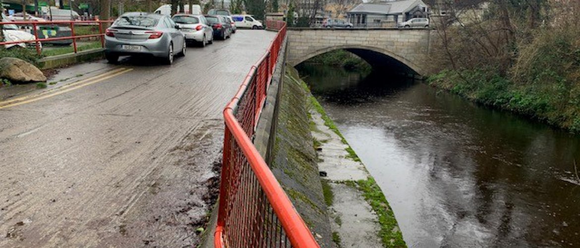
Dublin City Council, in conjunction with the Office of Public Works and Dun Laoghaire-Rathdown County Council are now advancing with Phase 3 of the River Dodder Flood Alleviation Scheme. The scheme will run from Clonskeagh Road Bridge to Orwell Road Bridge, protecting residential and business properties against tidal and river flooding. The need for such a scheme has been brought into focus by flood events that occurred on the 24 October 2011.
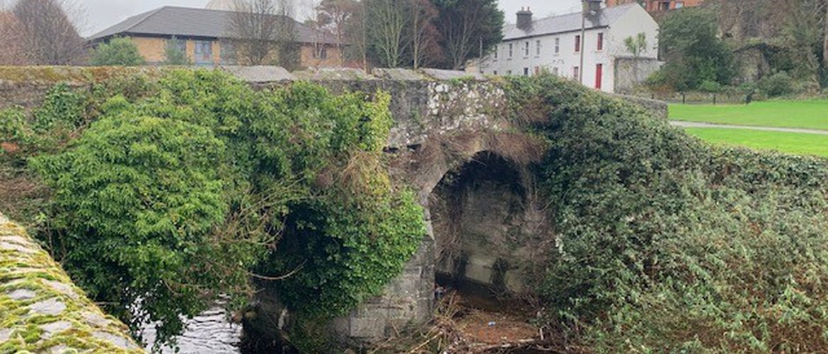
DCC has commissioned Ayesa (Formerly ByrneLooby) to develop and implement a flood alleviation scheme (FAS) for the River Dodder from Clonskeagh Road Bridge to Orwell Road Bridge including flood defence works on the Little Dargle stream at Braemor Road-Woodside Drive south-eastern junction.